Mount Tateshina (蓼科山) is also known as “Suwa Fuji” because of its mountain shape similar to Mount Fuji, it is one of the 100 famous mountains in Japan.
It is a volcano located at the northern end of the Yatsugatake Mountain Range, in the city of Tateshina, Nagano Prefecture, with an altitude of 2,531 meters.
It is recommended for beginner climbers as it takes around 4 hours round trip. The maximum temperature between June and August is 15.5°C and the minimum temperature reaches 7℃.
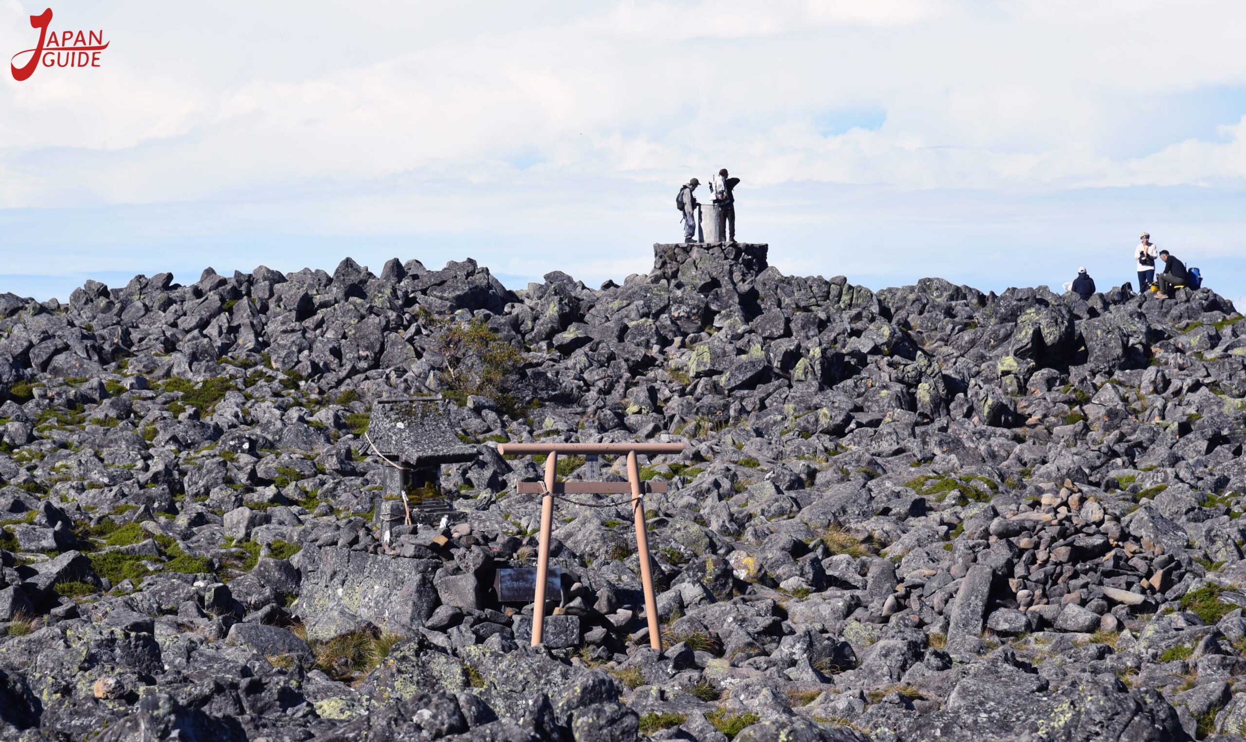
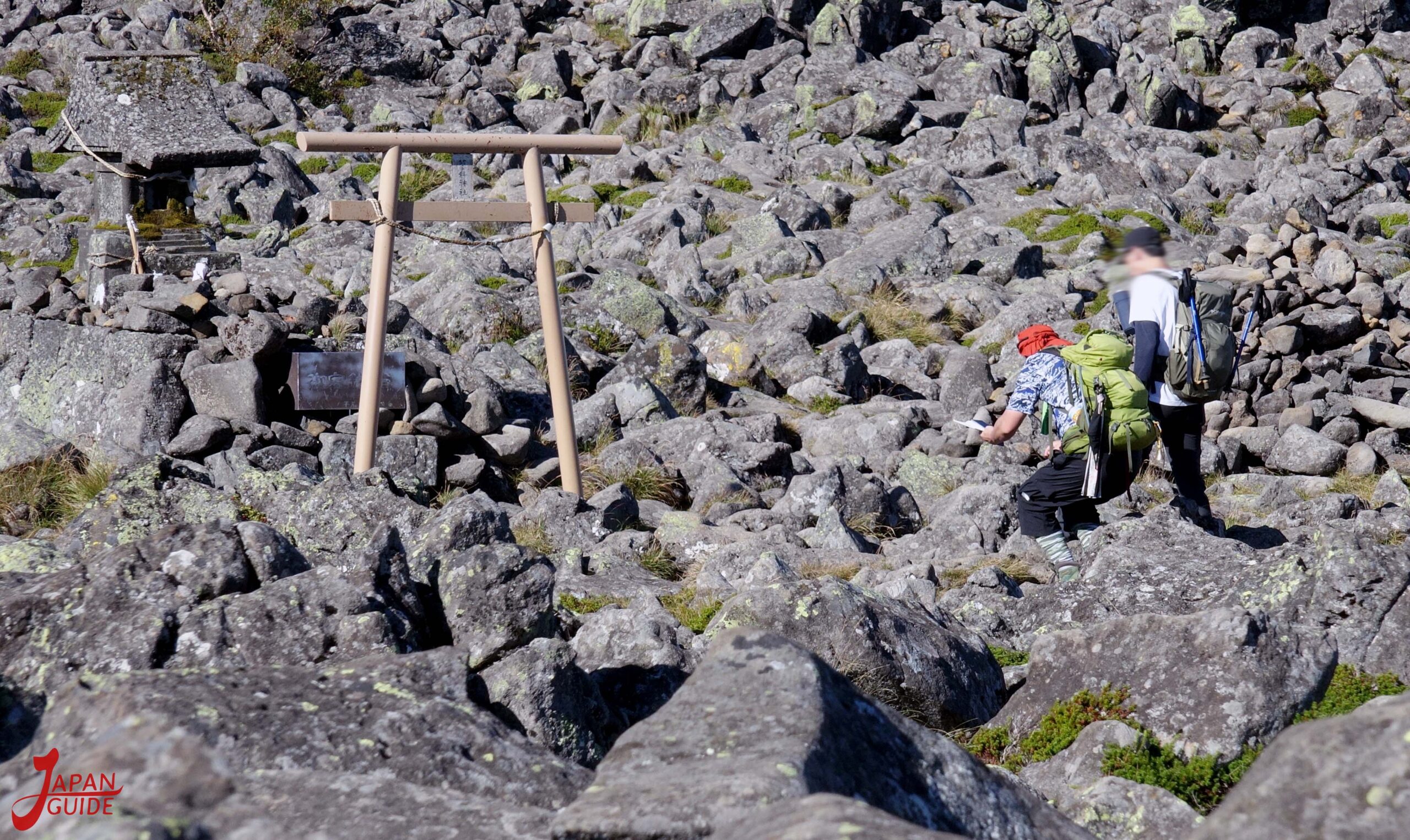
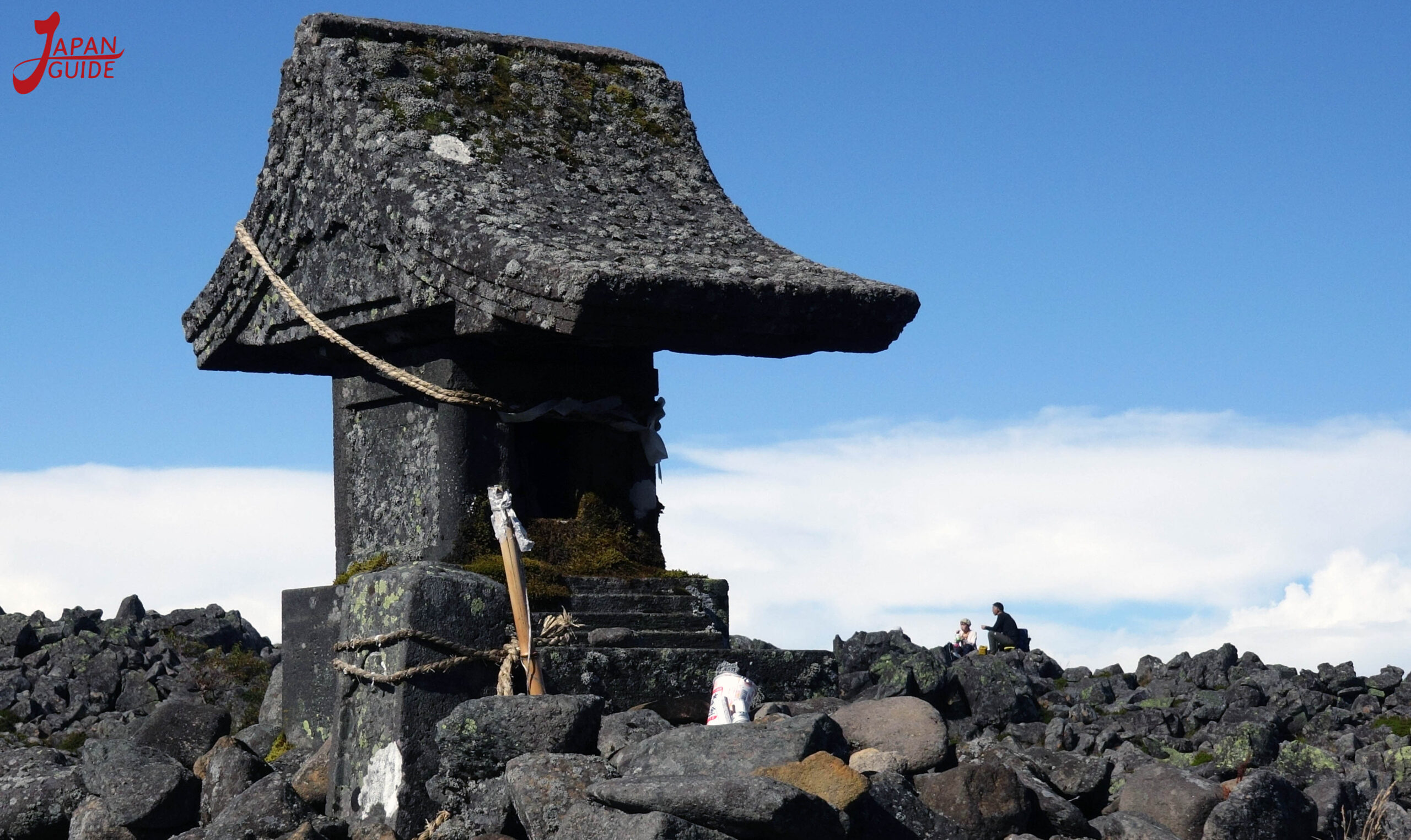
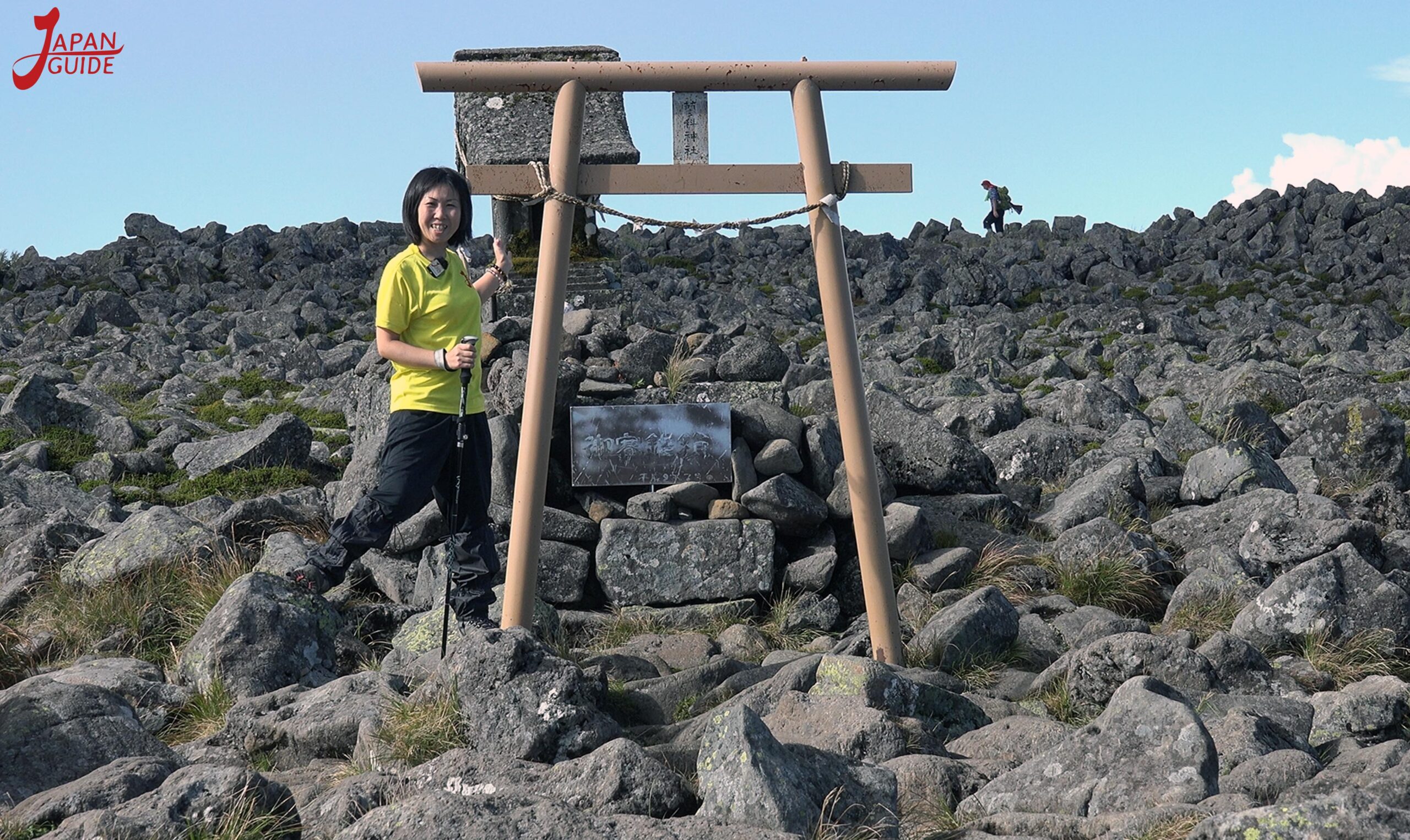
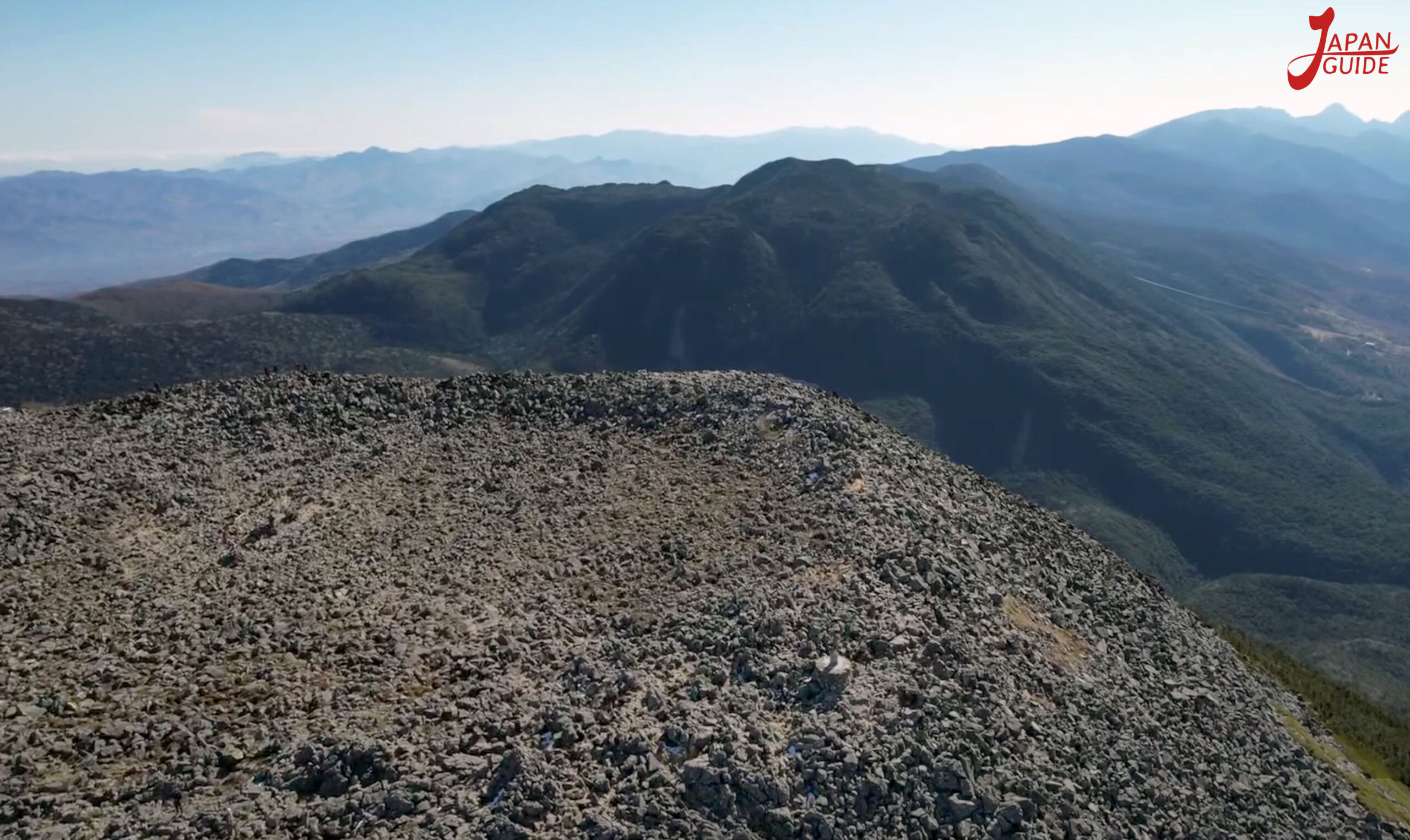
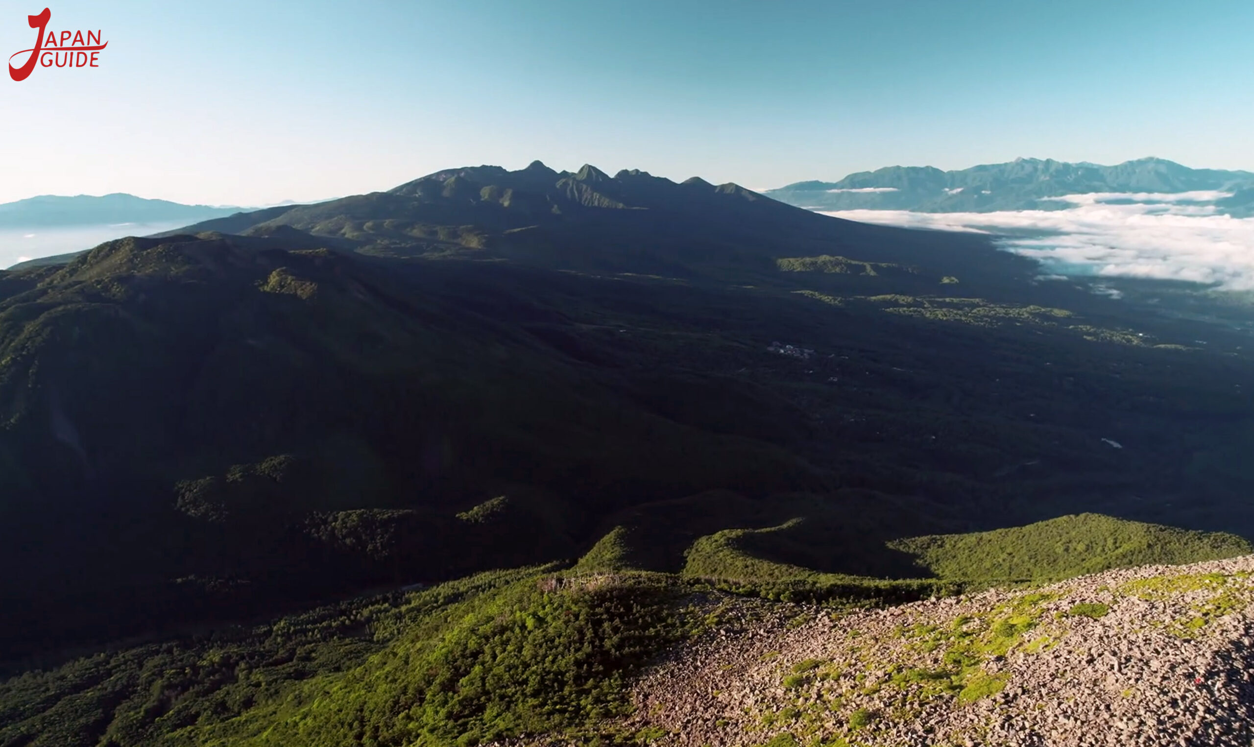
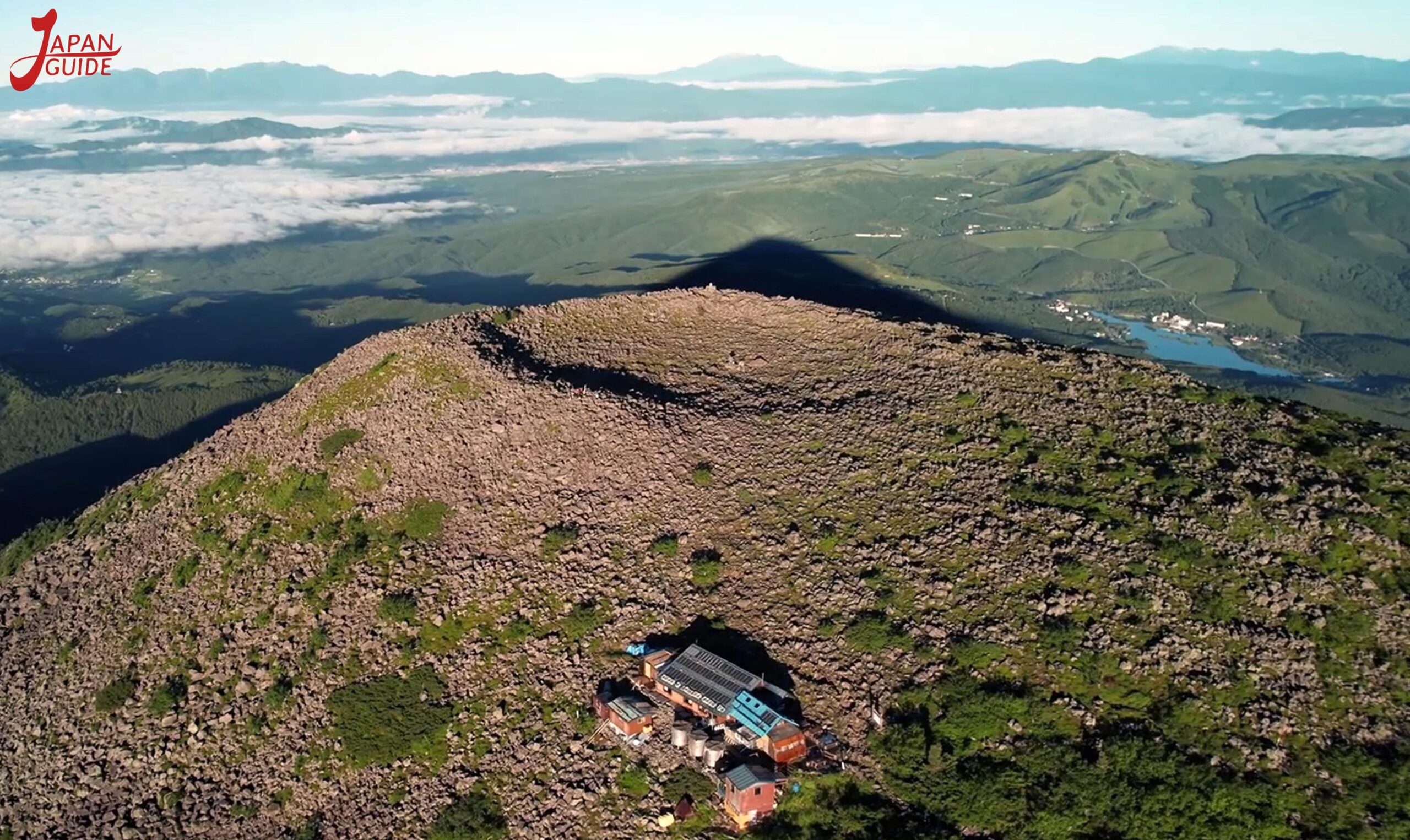
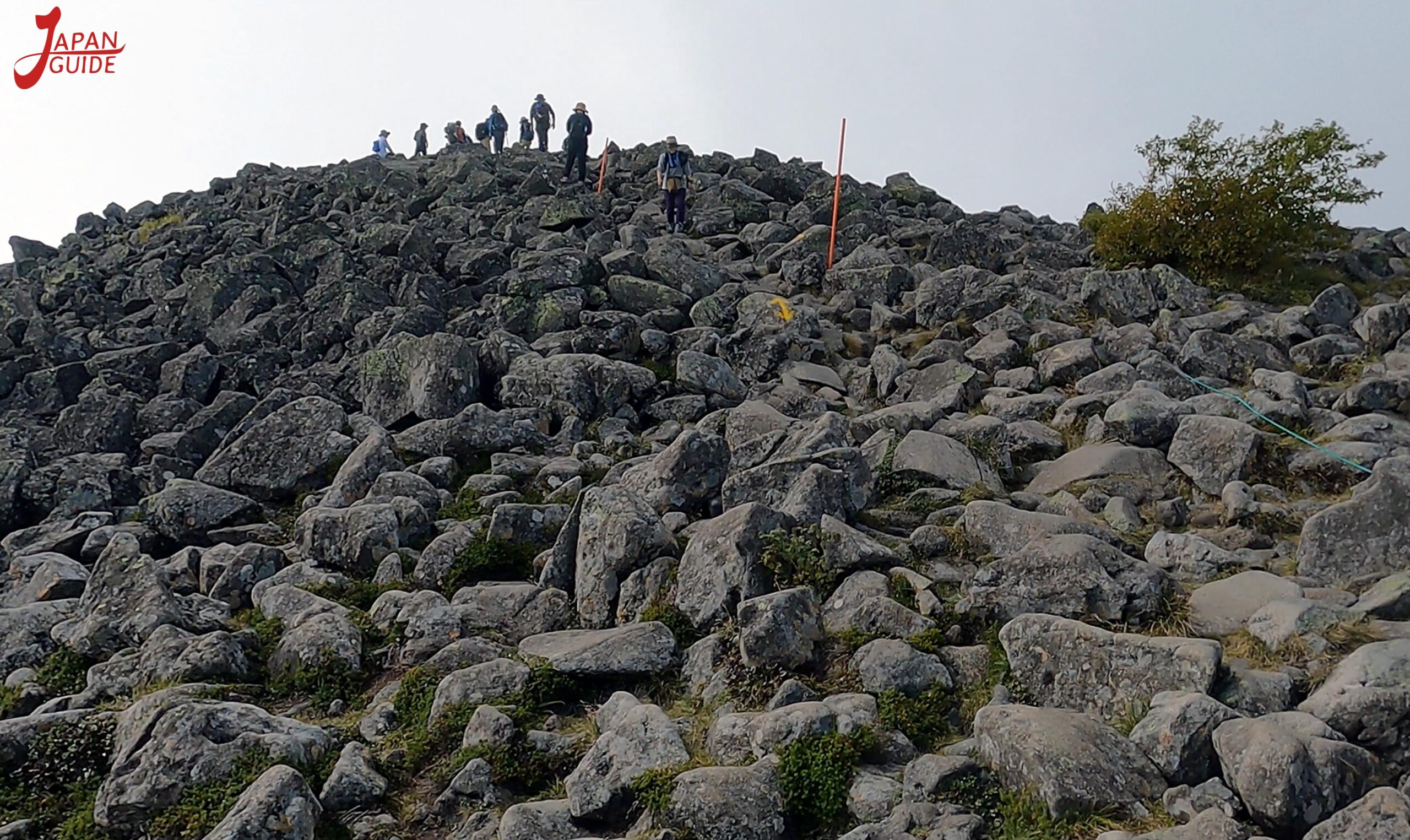
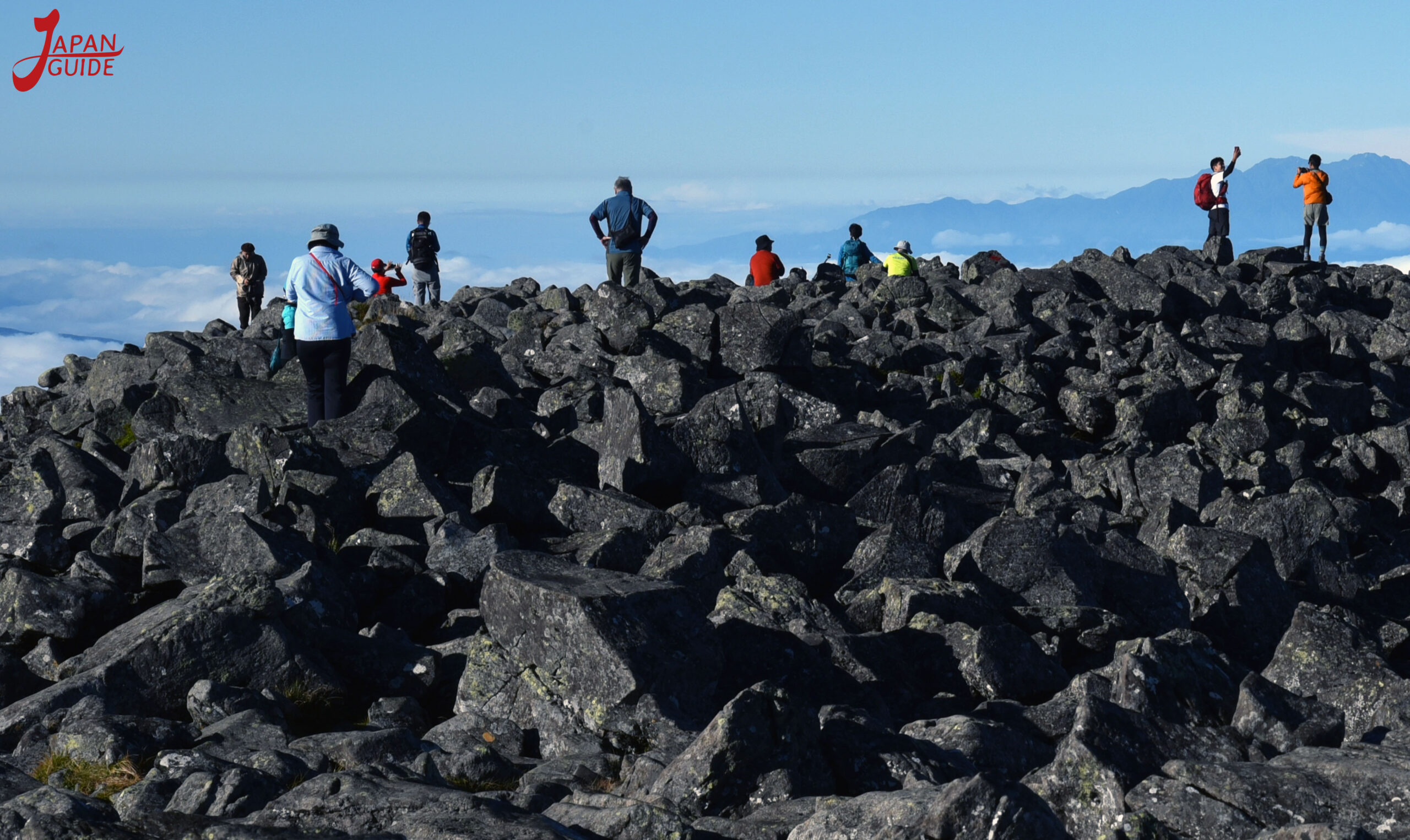
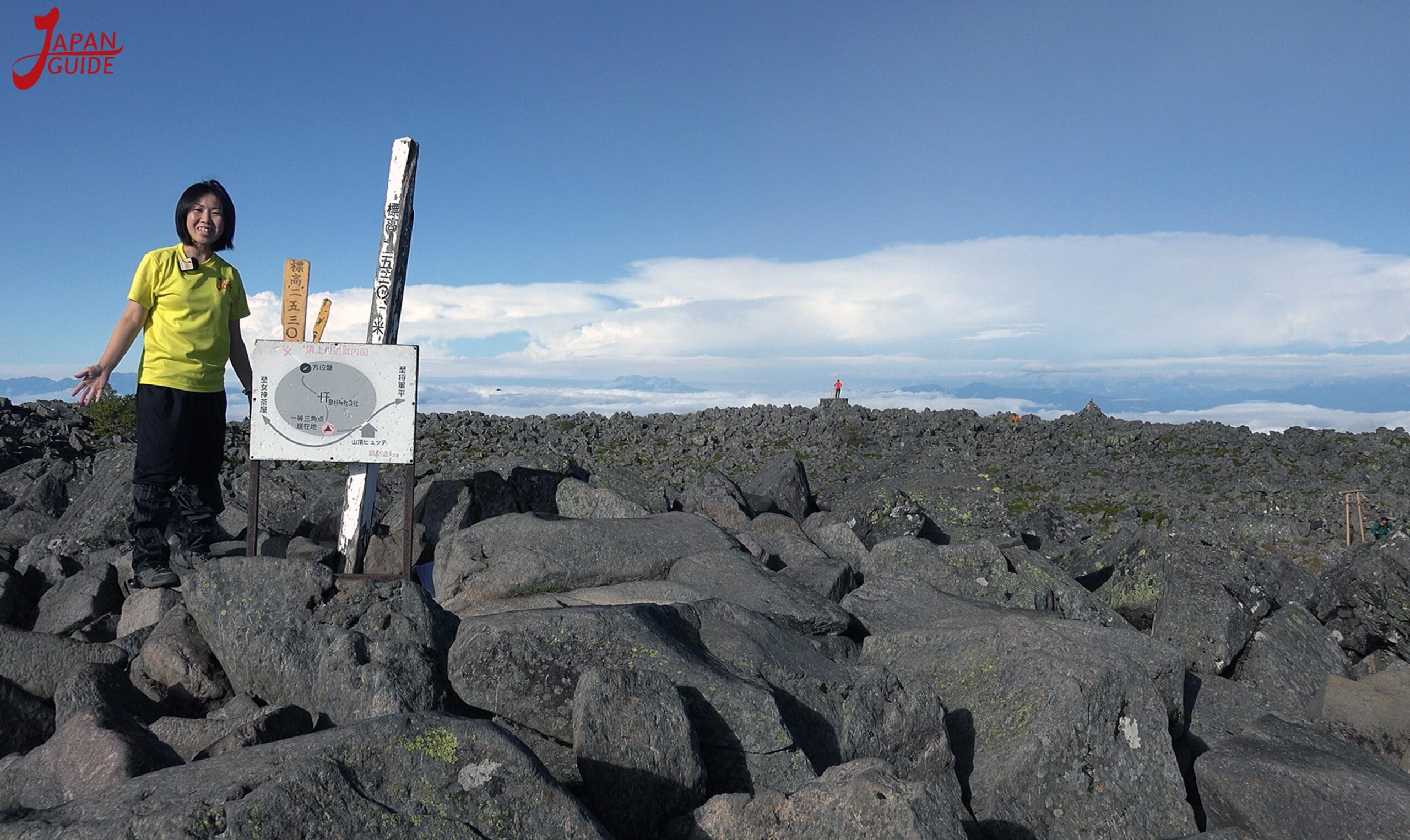
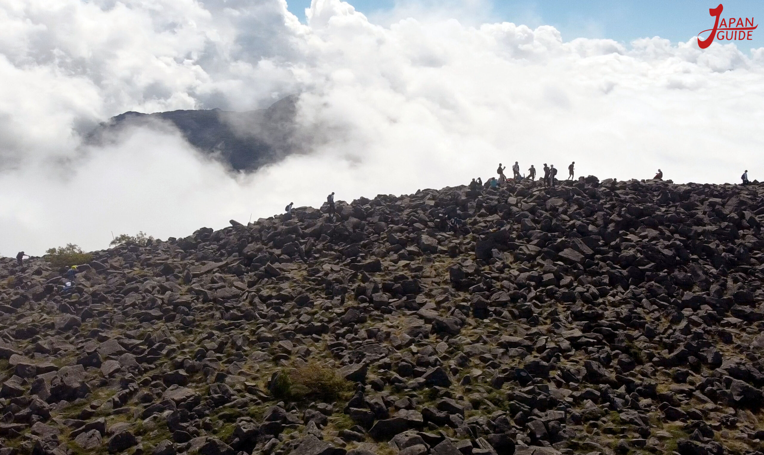
The summit is very wide and is covered by steep rocks with a portal (Torii) and a small shrine in the center, the summit offers a 360 degree view of the Yatsugatake Range, Asama Range, Kirigamine, Central Alps and Southern Alps.
Although it is a beginner’s mountain, the weather at the base and near the summit can change drastically, so it is best to check the weather before climbing. Therefore, be sure to wear appropriate clothing and equipment for the weather conditions.
- Spring/Autumn: Due to the high altitude, temperatures are low even in spring and autumn. There may still be snow even in May, so be prepared to wear cold-weather clothing. Wear layers of clothing that are easy to put on and take off, such as long-sleeved shirts and fleeces. It is also useful to have a hat to protect your head from the cold.
- Summer: You can wear a t-shirt while walking, but you may feel cold during rest breaks. Bring something you can wear even in the summer, like a long-sleeved shirt. Furthermore, the higher the altitude, the stronger the UV rays, so don’t forget to bring sun protection.
- Winter: Be sure to protect yourself from the cold and snow by wearing winter clothing, pants, gloves, etc., as well as shoe clips and chain for snowy roads.
I will be showing two trails and the huts along the way
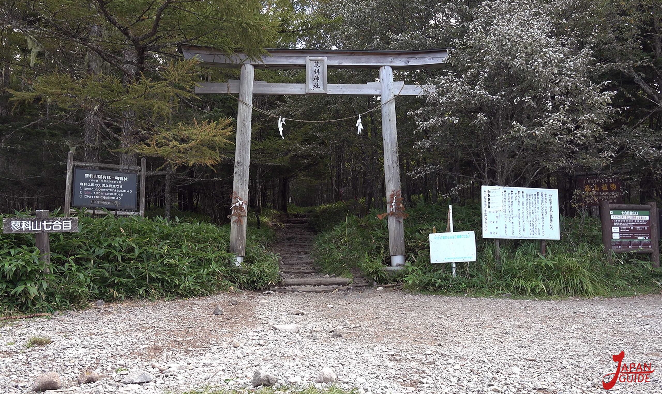
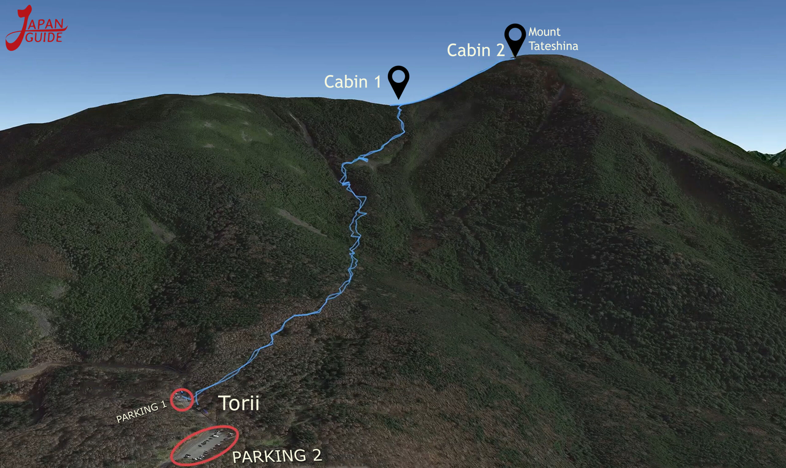
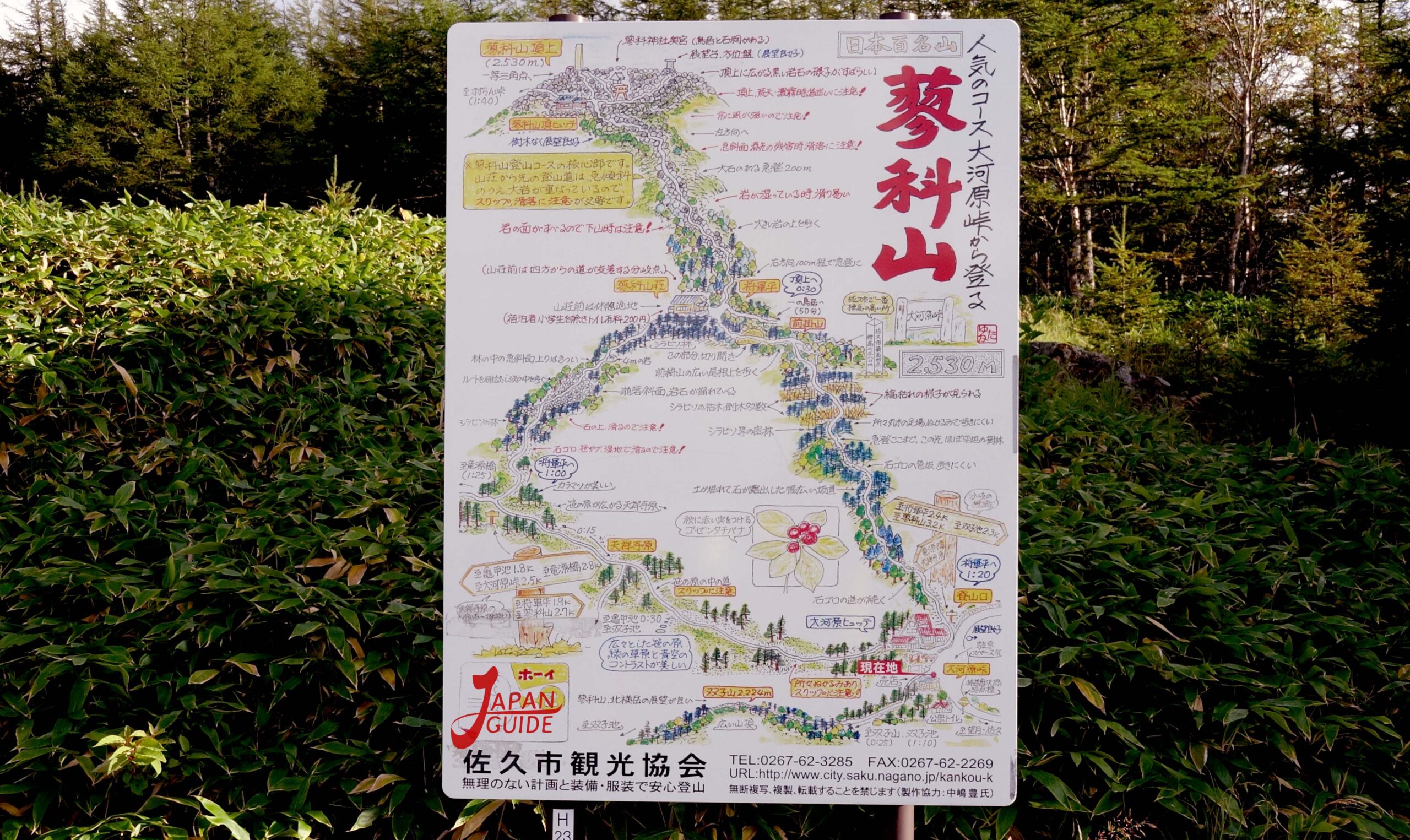
1) Route 7th station, short and most used: Start of the trail at the 7th station, where the Torii gate is and takes around 4 hours, round trip (time may change slightly depending on each person’s physical condition).
From the 7th station onwards, the trail route is shorter than the other trails, which makes it a climb for beginners.
The path starts after passing through the big gate (Torii) and from Umagaeshi the path starts to get steeper. After walking for just over an hour, we arrived at the first hut called Shogundaira, where we could rest and eat.
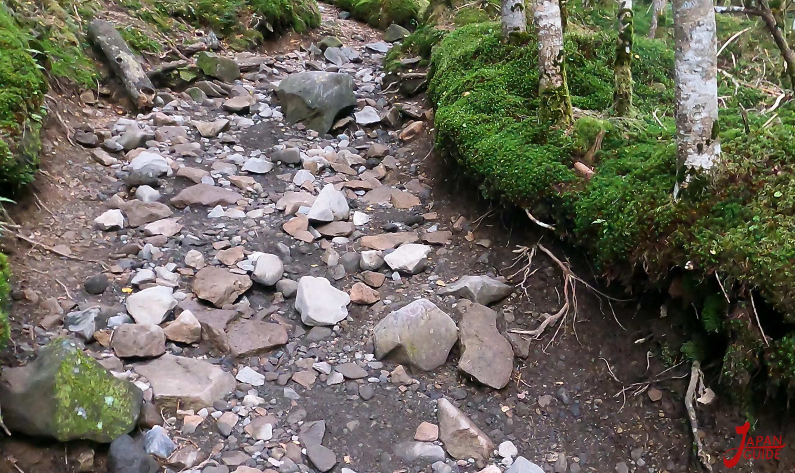
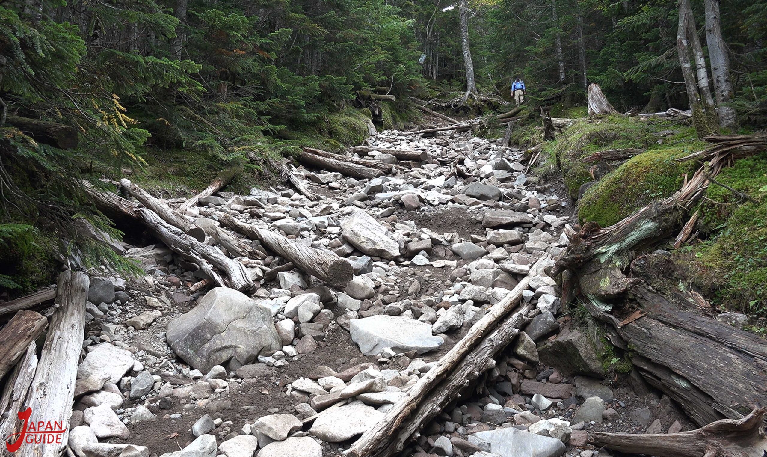
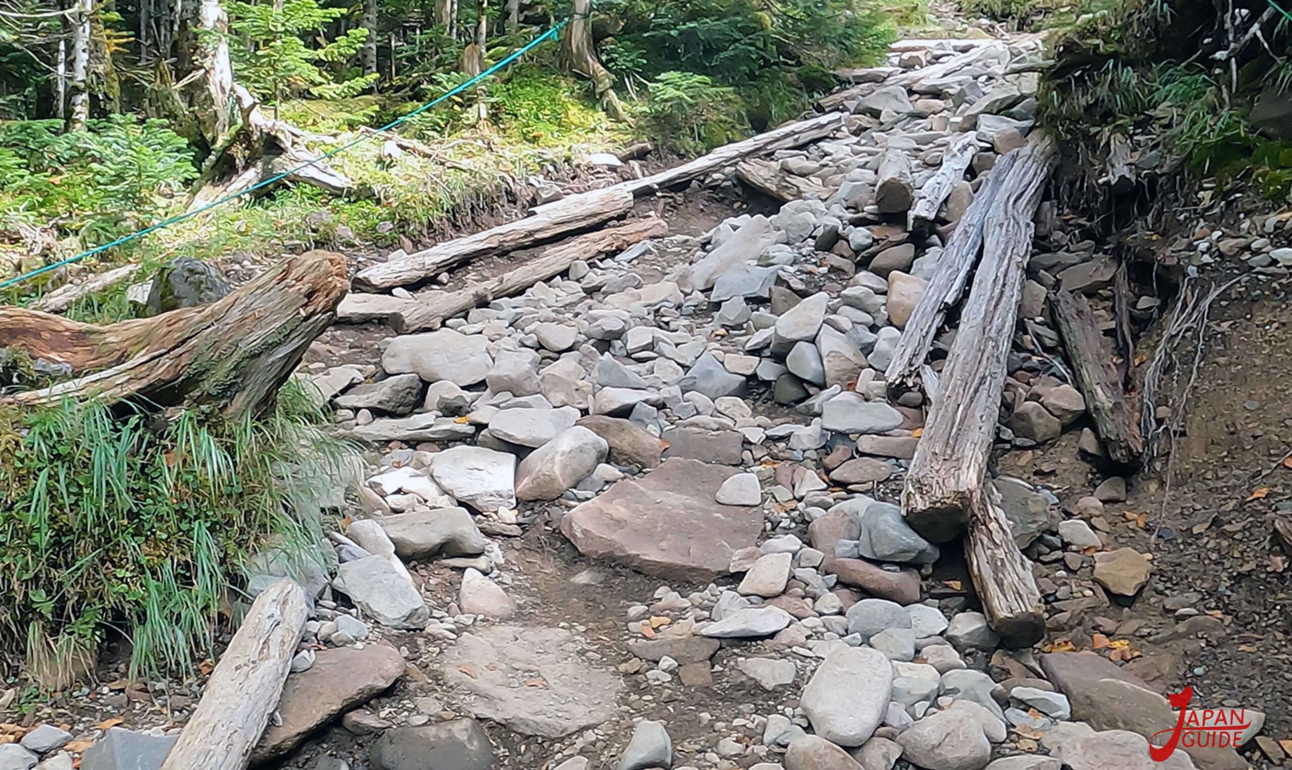
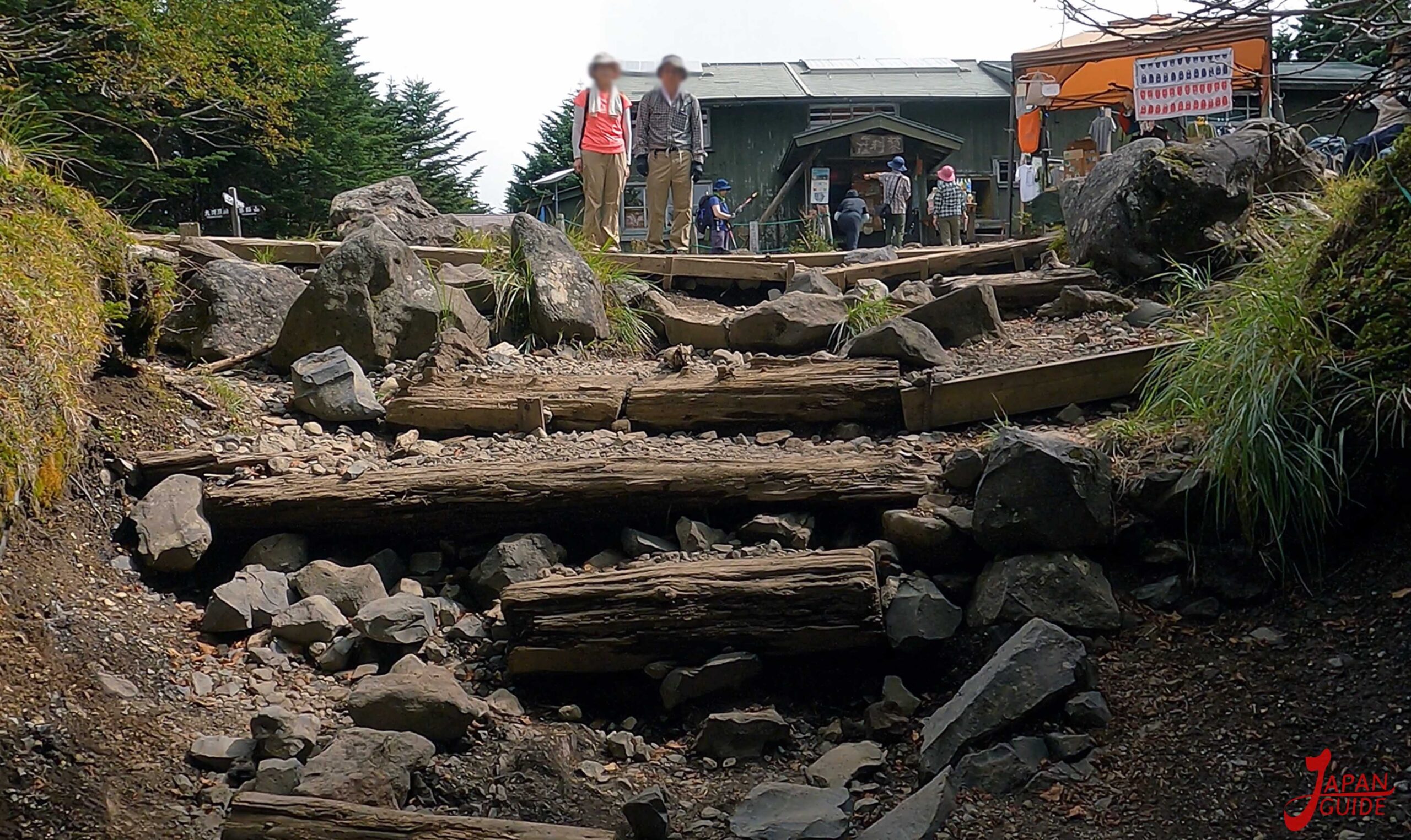
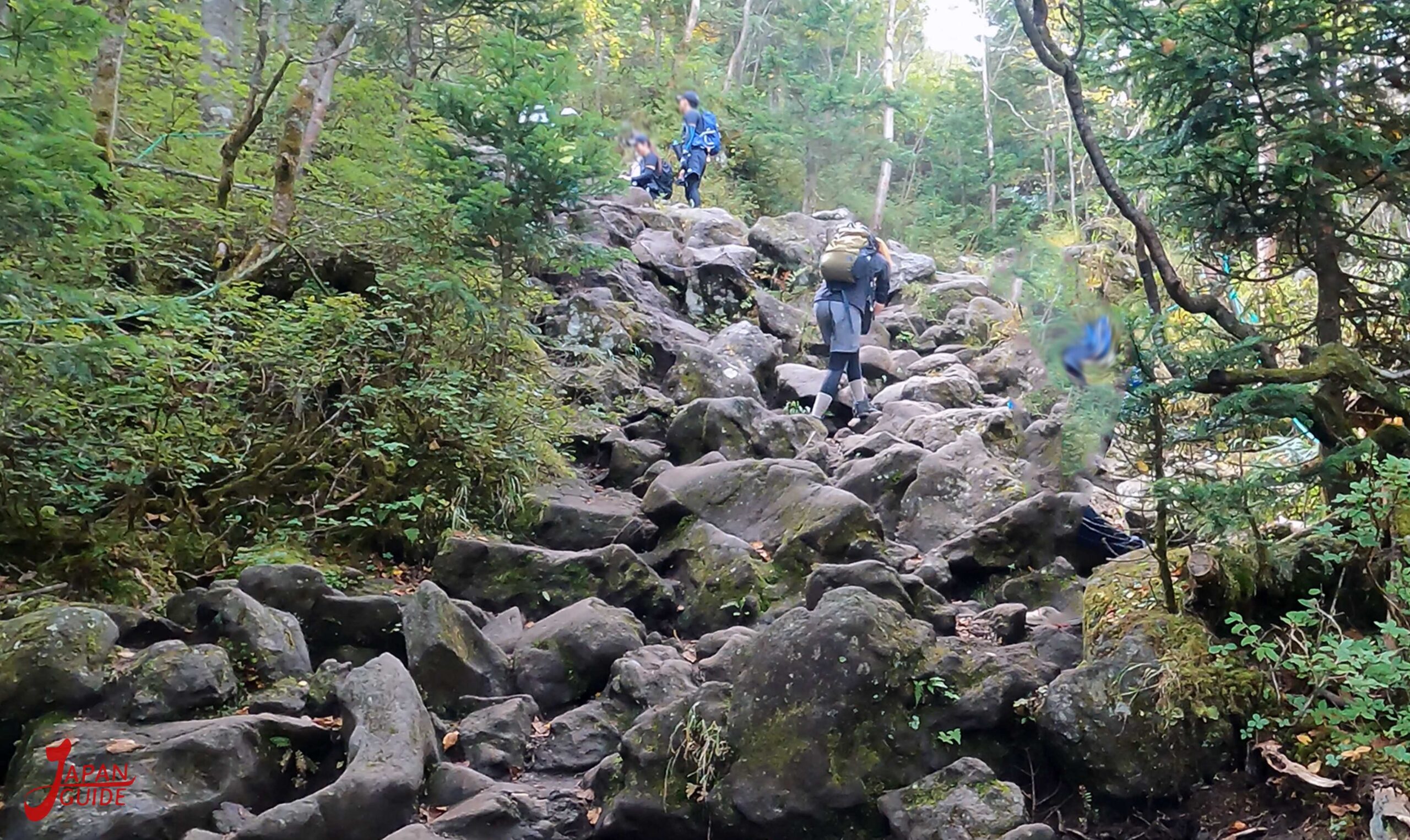
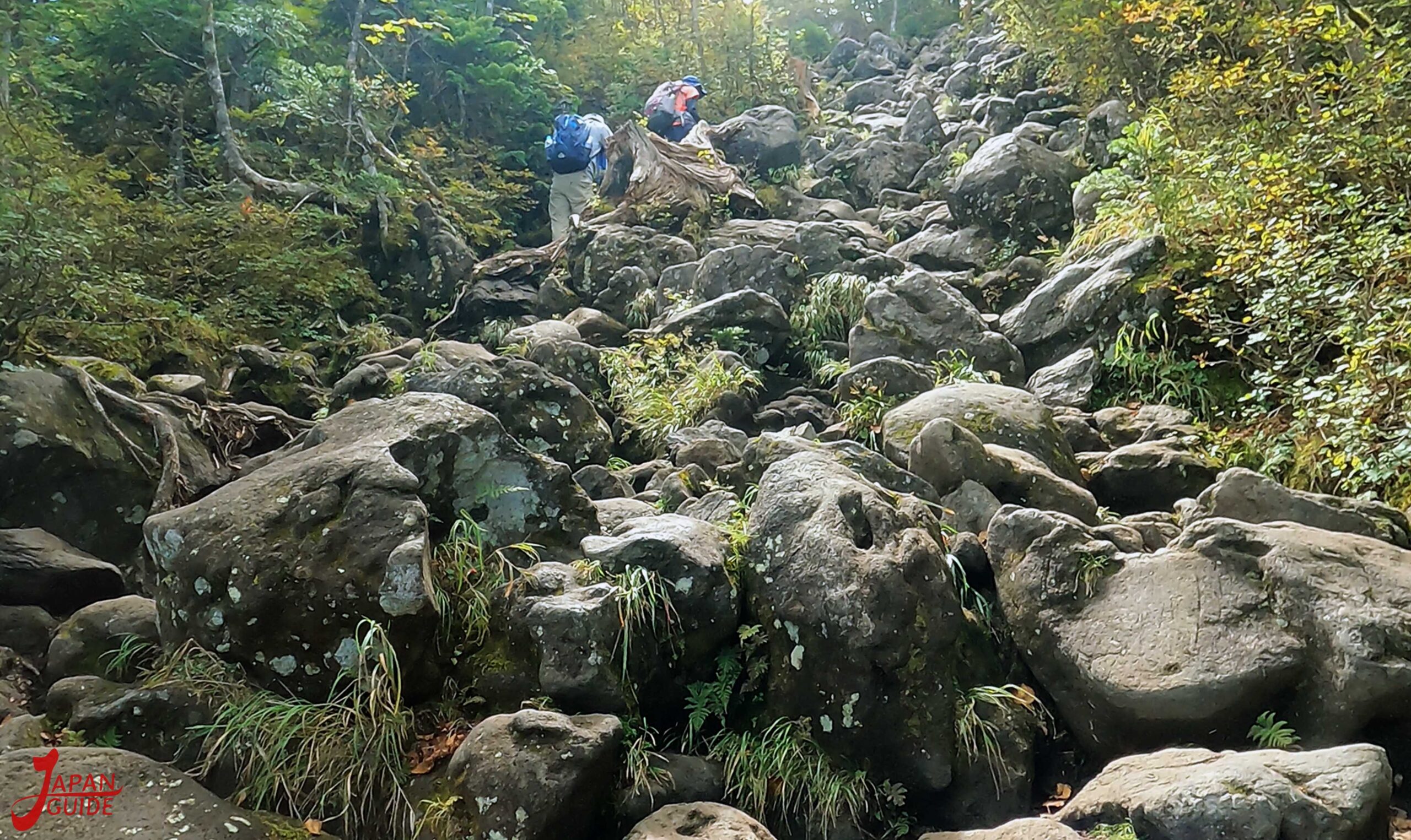
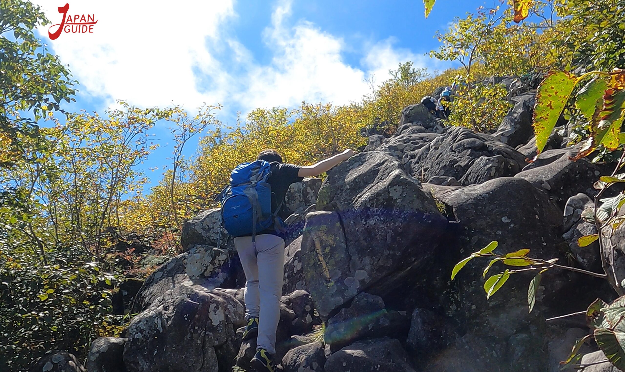
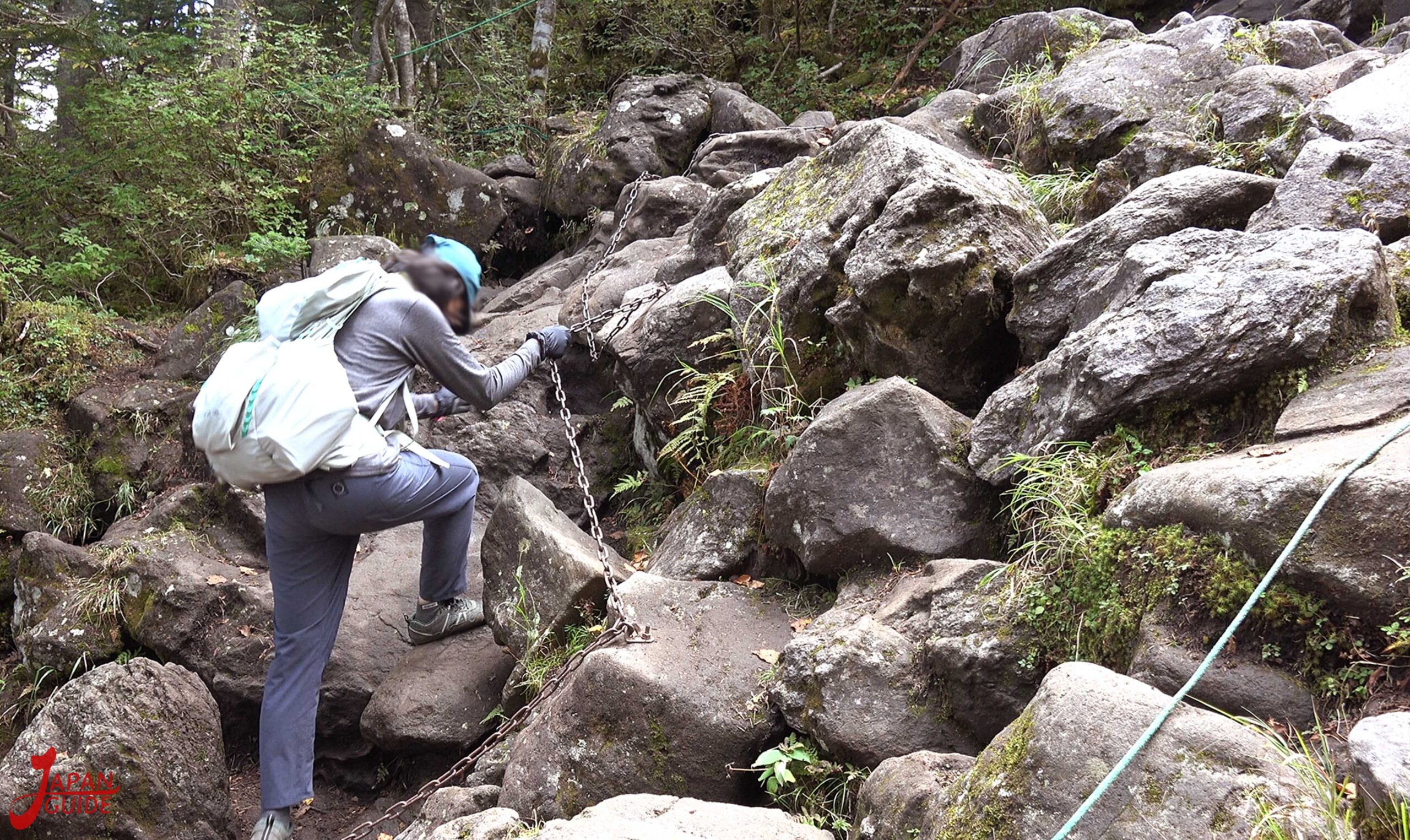
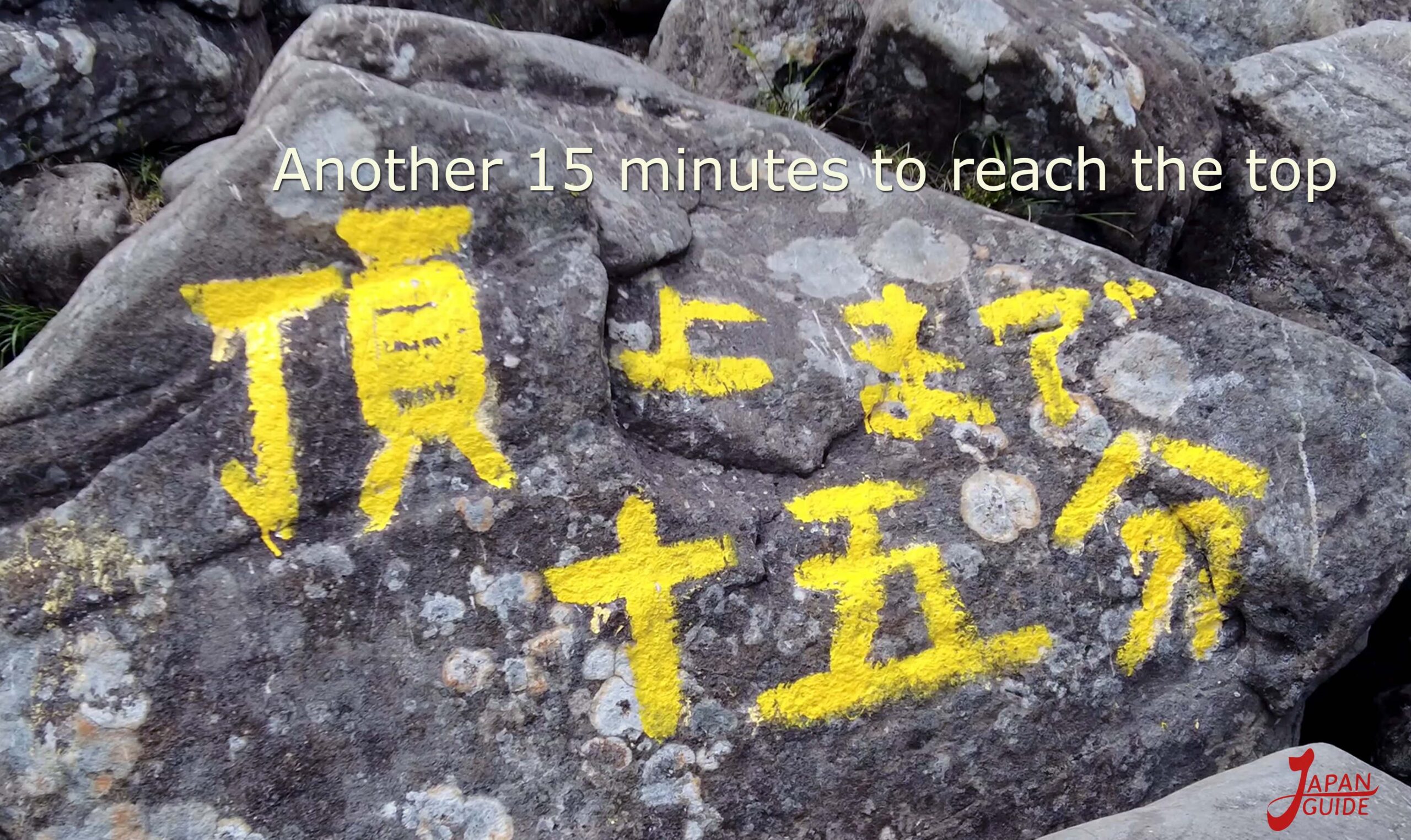
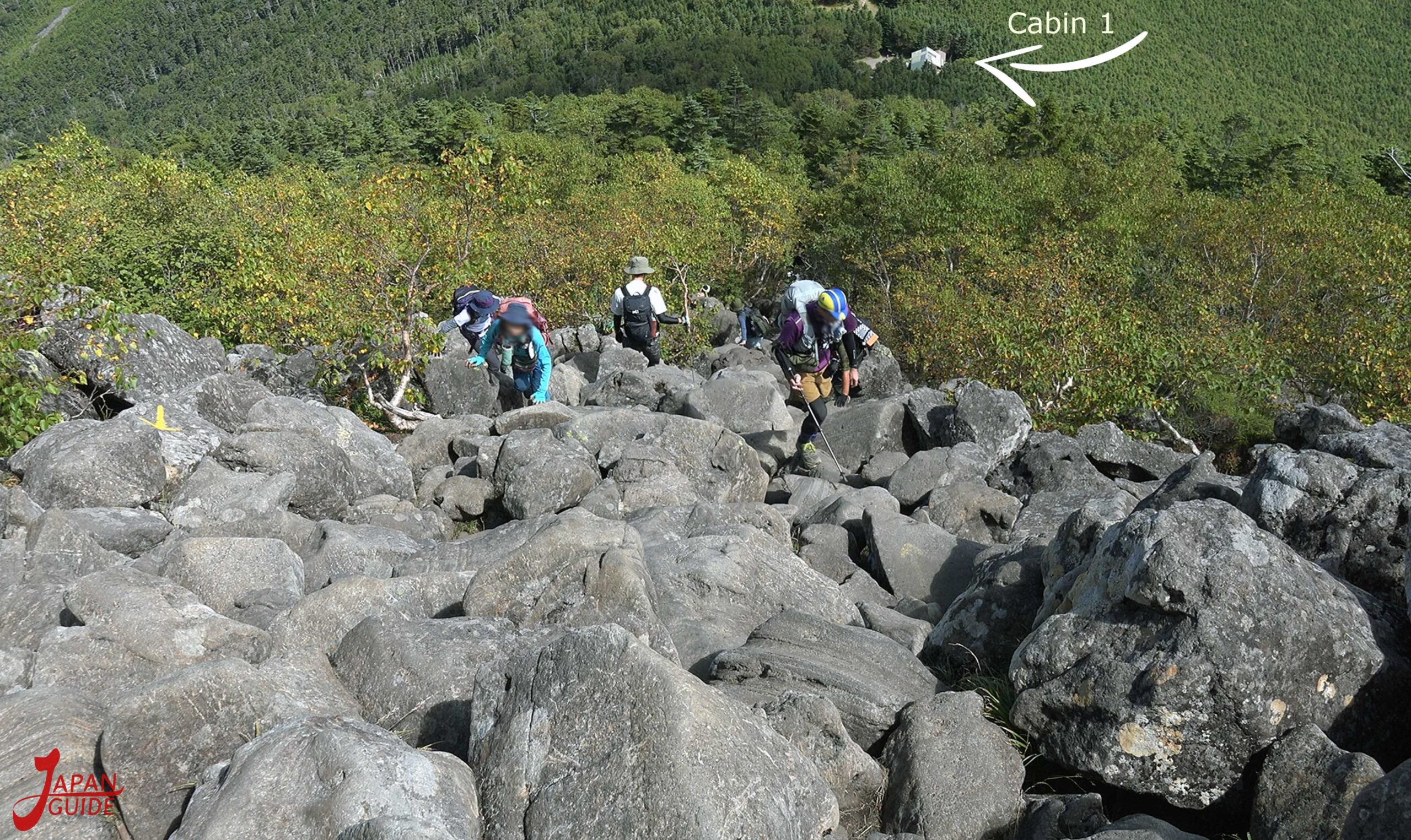
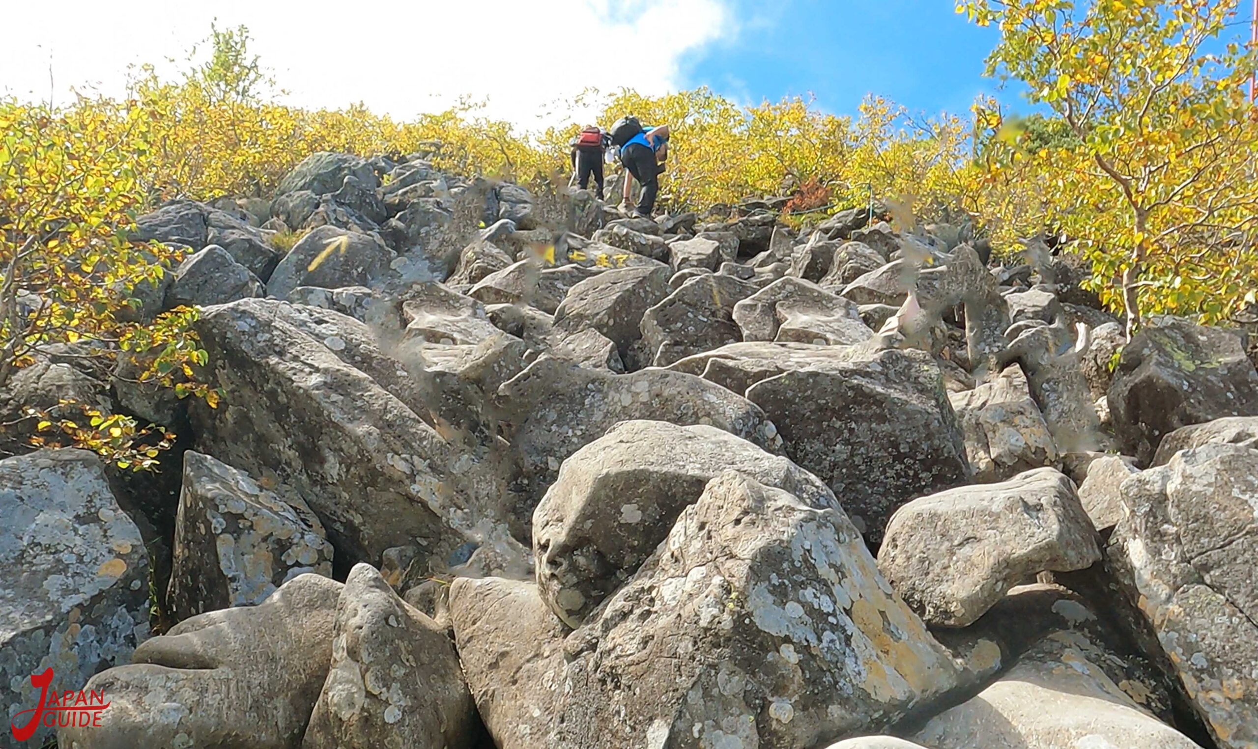
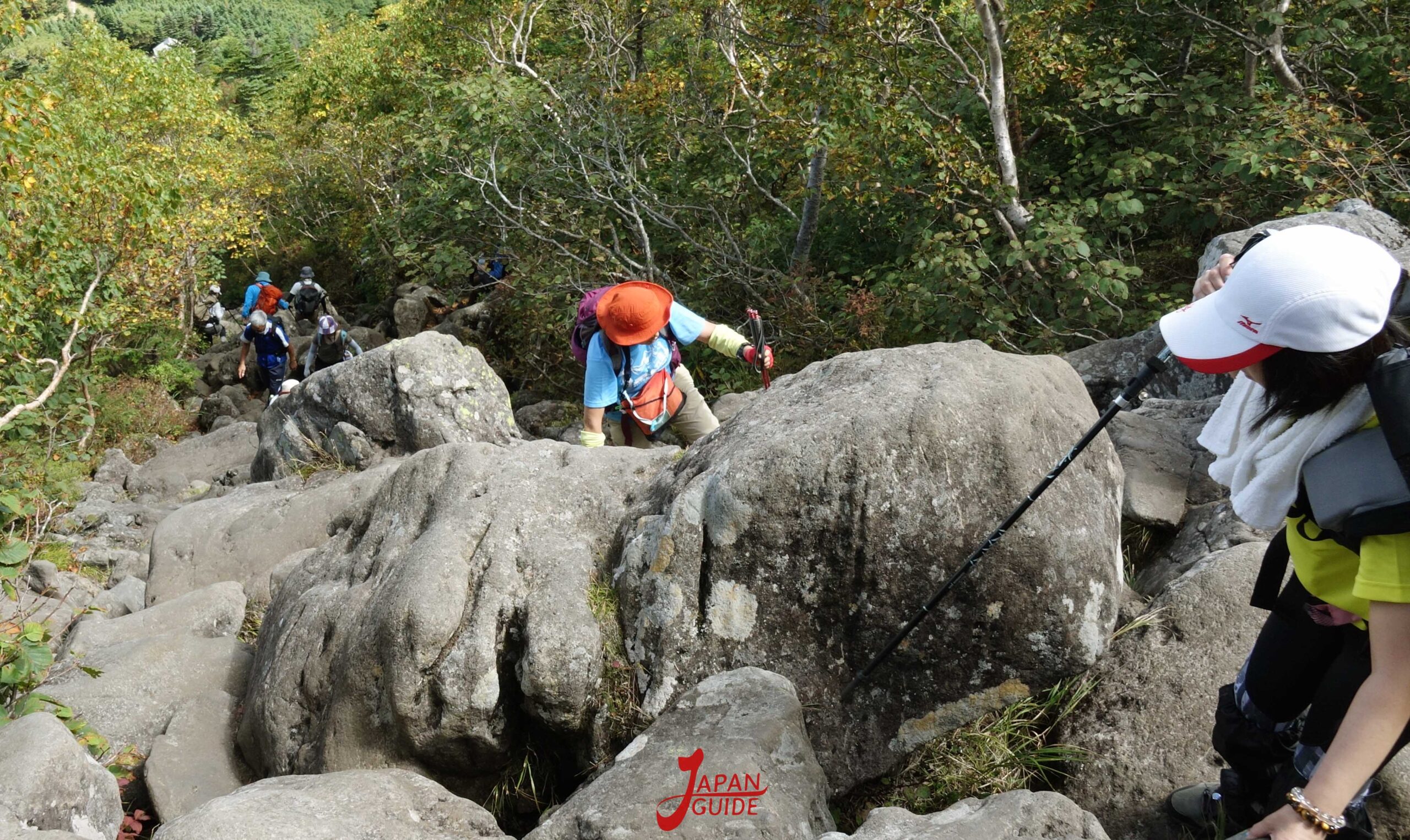
Continuing the climb to reach the summit along a path full of large rocks, which can take between 30 minutes and 1 hour.
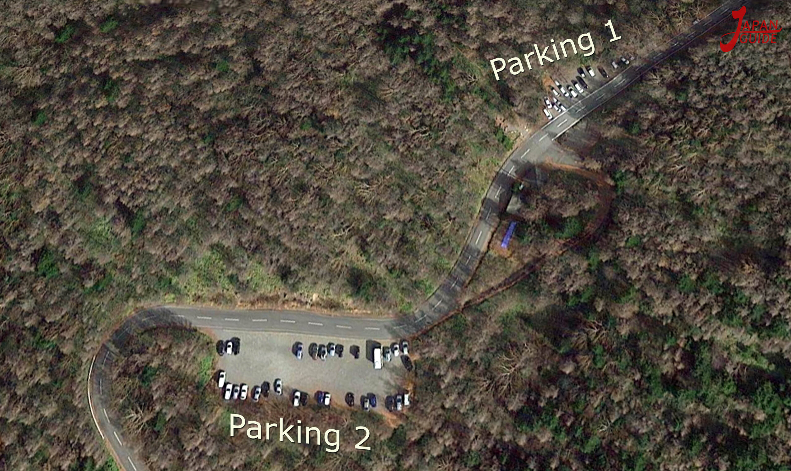
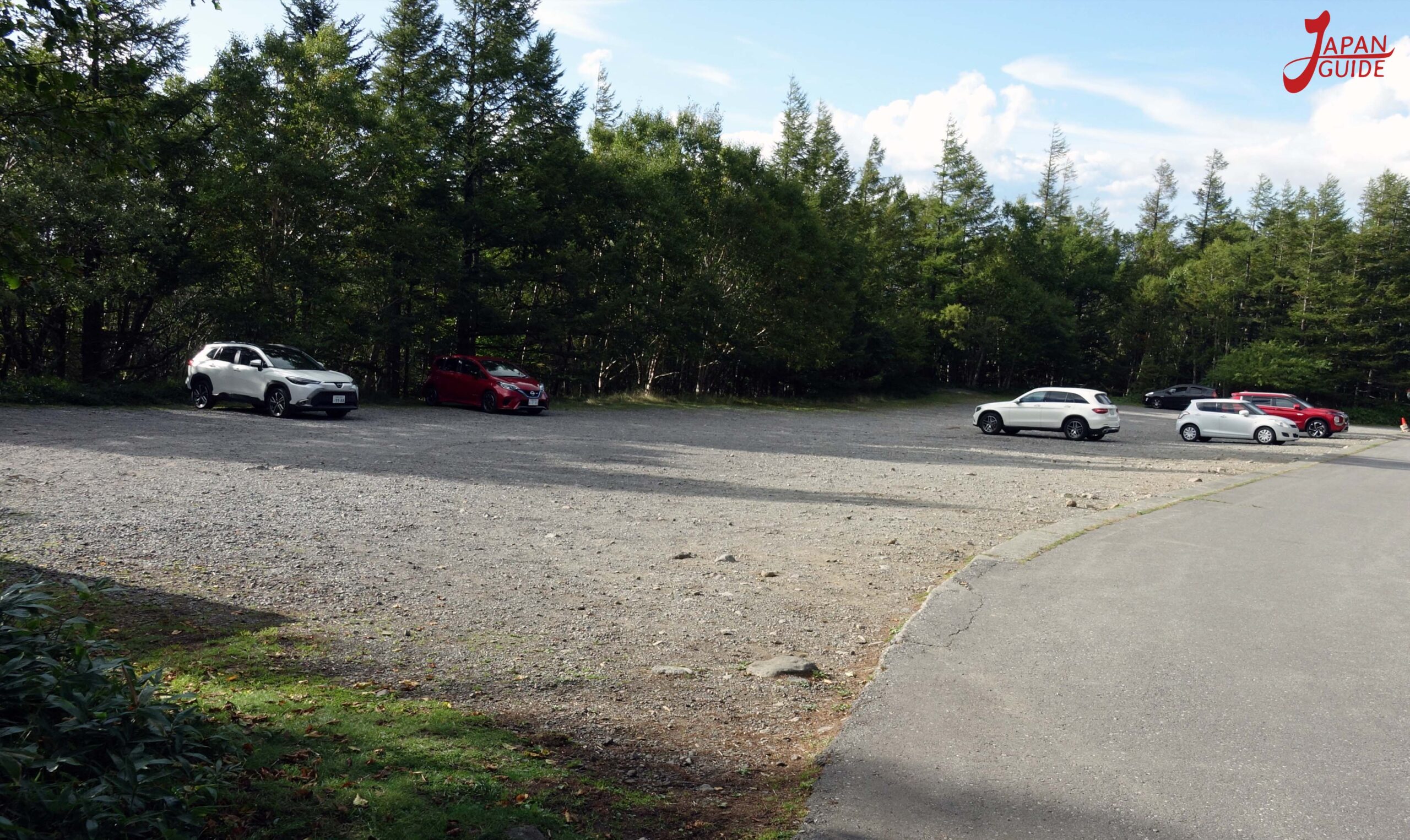
Parking on the 7th station route(100 free car spaces)
Nagano Kitasaku Tateshina Ashidahakkano
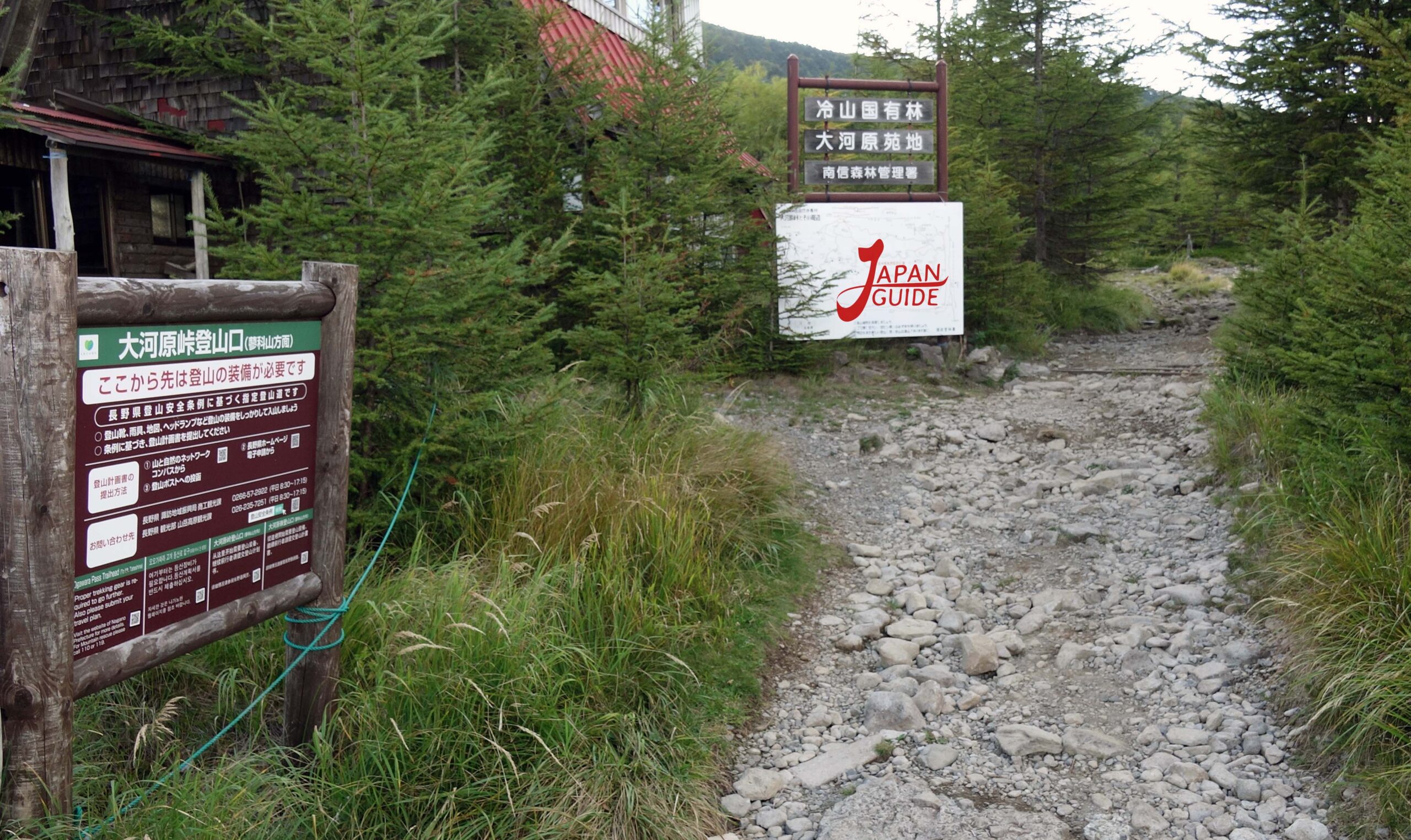
2) Ogawara Route: A trail with the smoothest path, about 4 hours and 20 minutes, round trip. (time may vary slightly depending on each person’s physical condition).
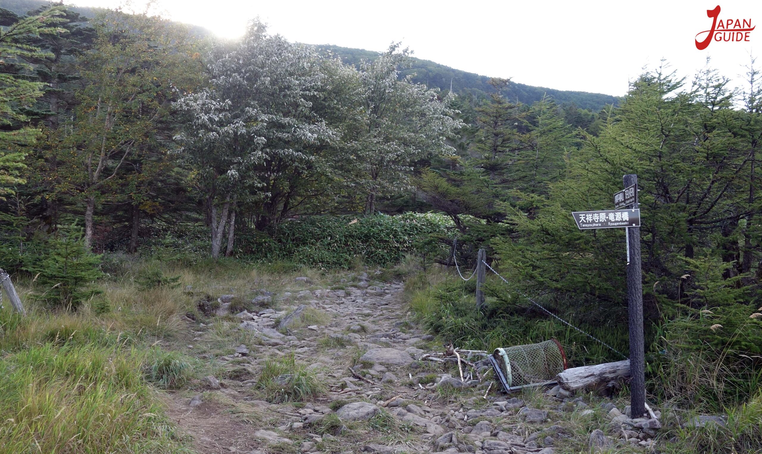
Although the distance is slightly longer, the Ogawara route is popular because it allows you to walk along a road with little difference in altitude.
After walking for about an hour and a half, we arrived at the first hut called Shogundaira, as was said, the place where we could rest and eat.
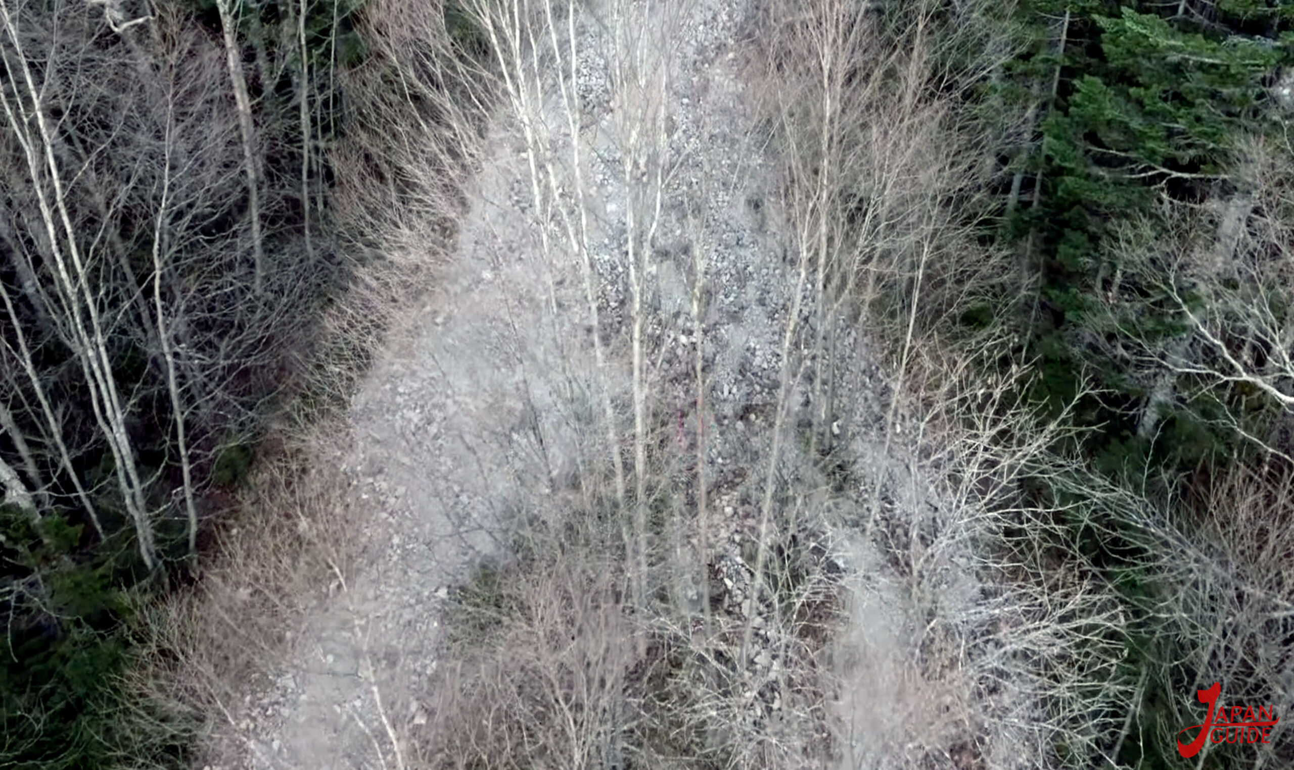

From here it’s the same trail, we continue the climb passing the first Shogundaira hut that leads to the summit along a path full of large rocks, which can take between 30 minutes and 1 hour.


Ogawara Route Parking(50 free car spaces)
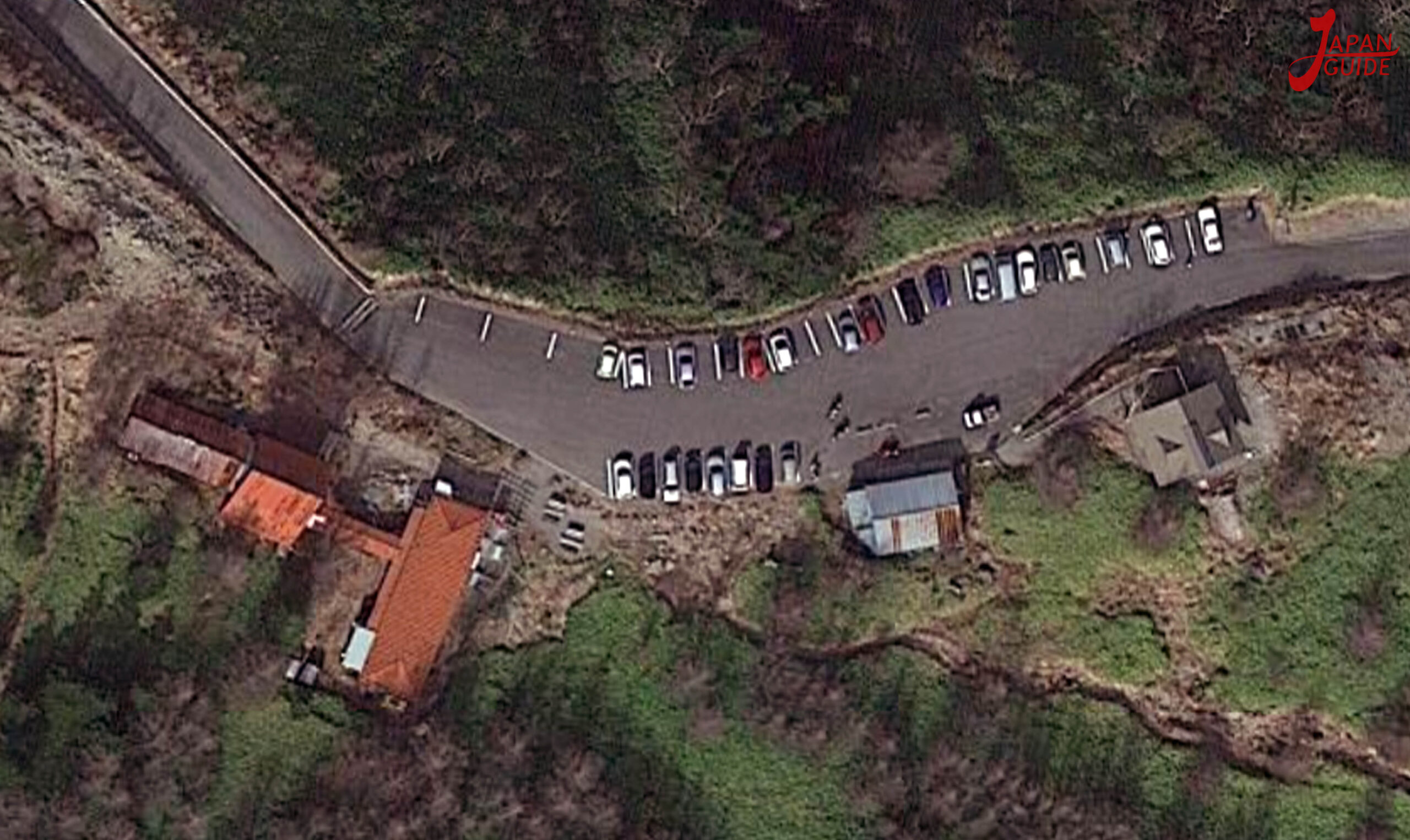
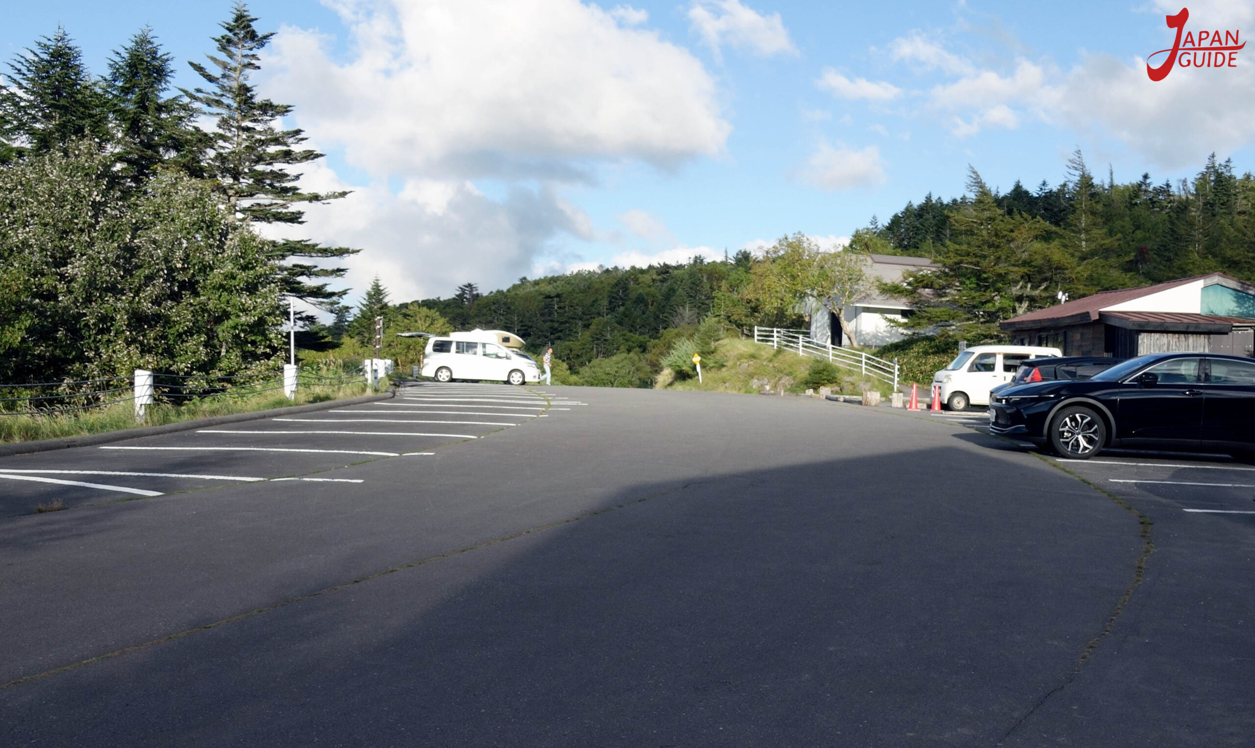
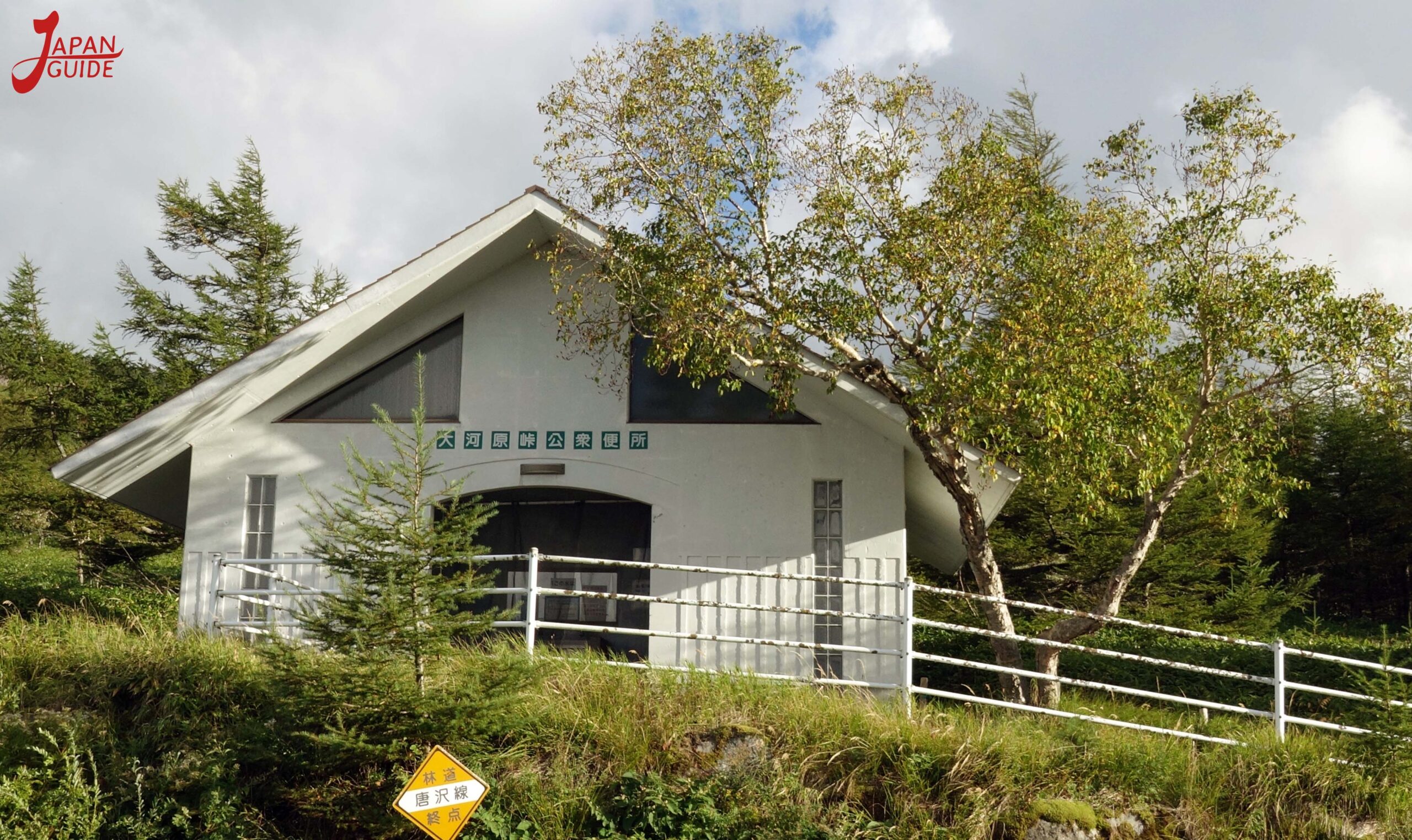
Nagano Saku Kasuga Tateshina Skyline
Summit
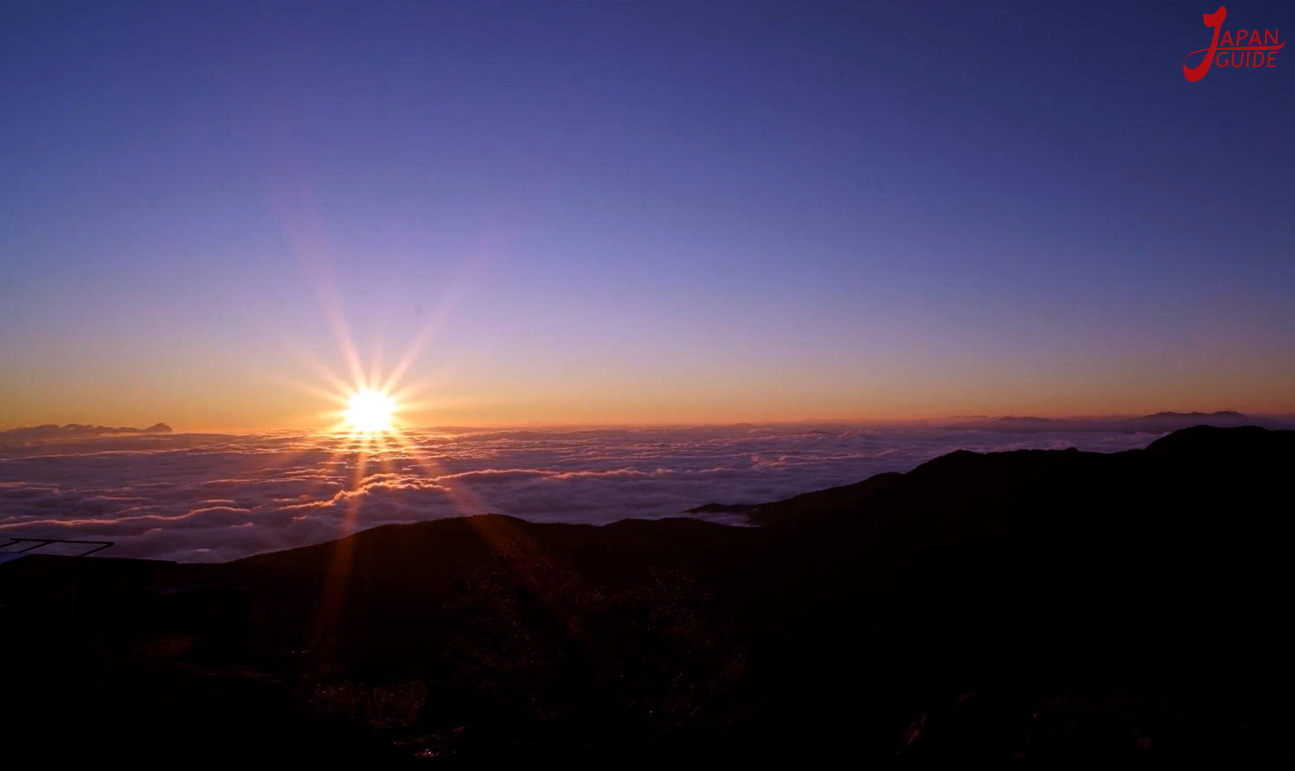
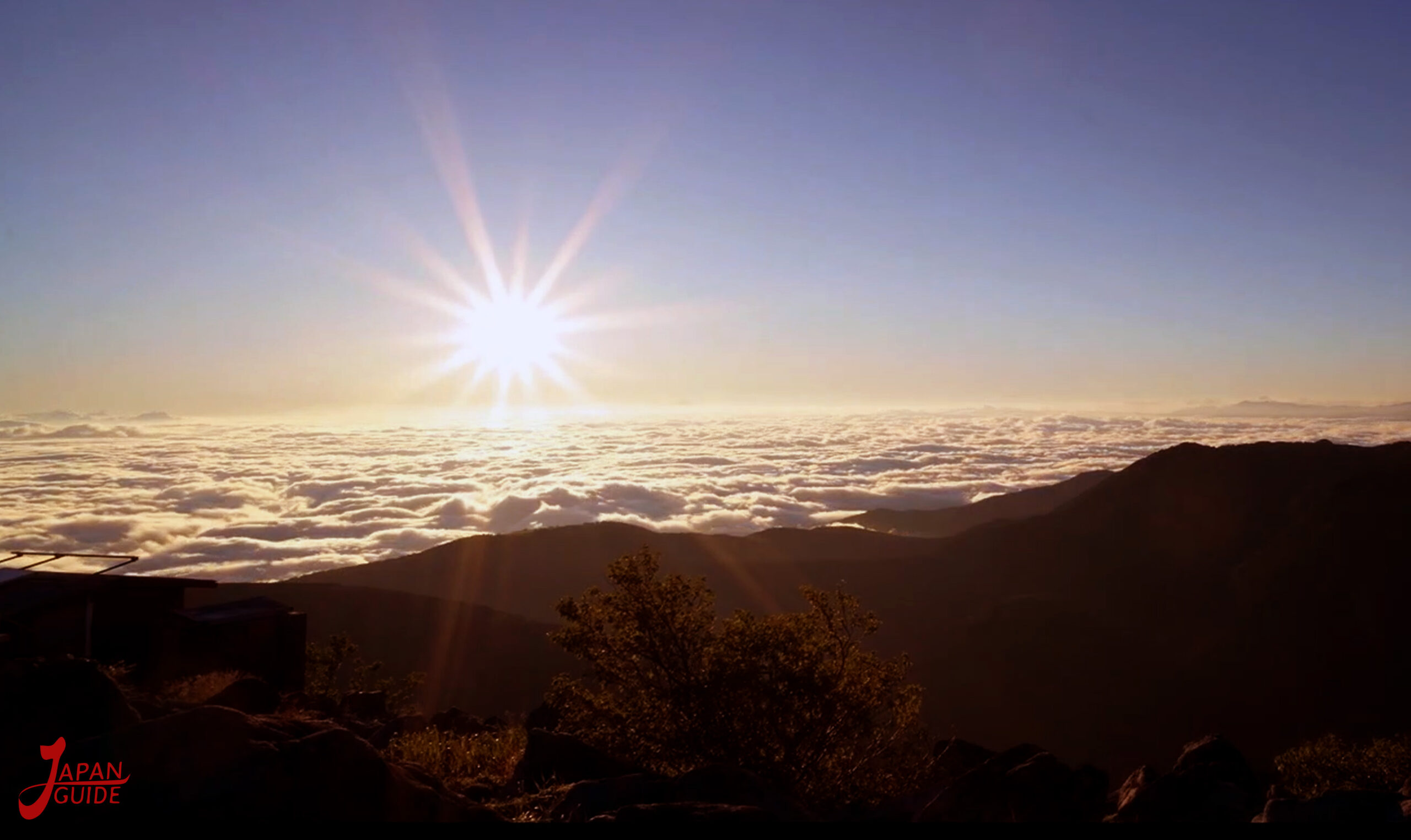
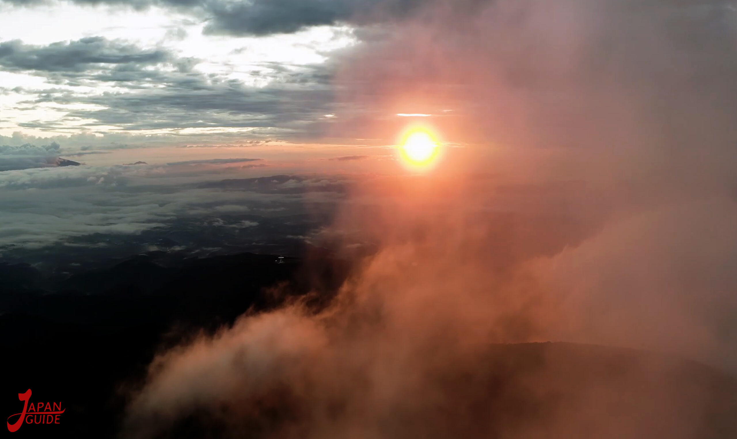
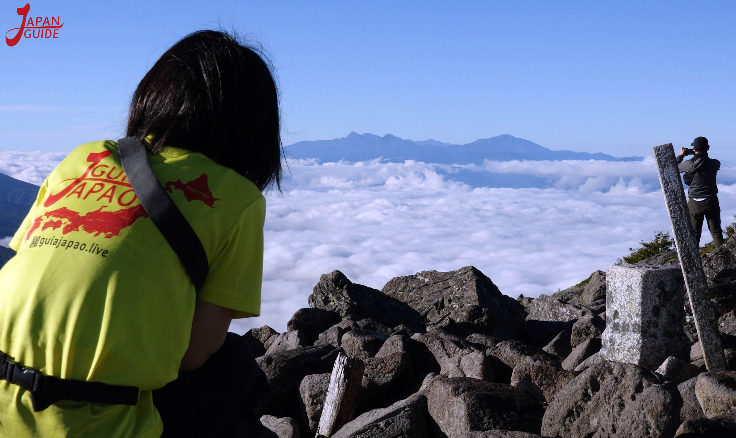
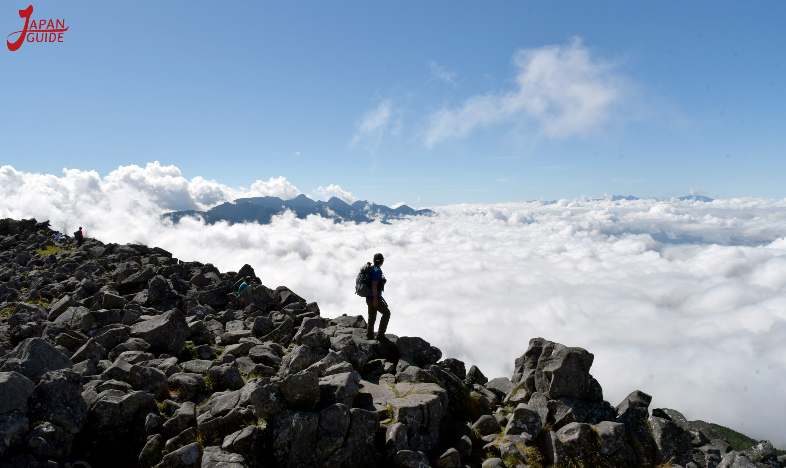
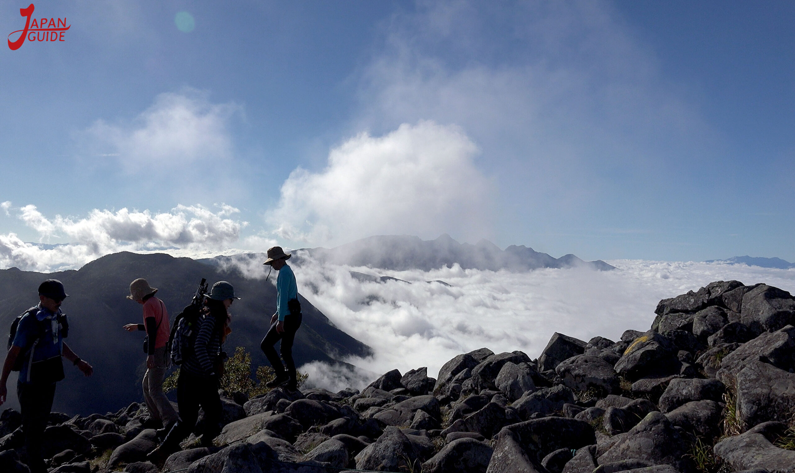
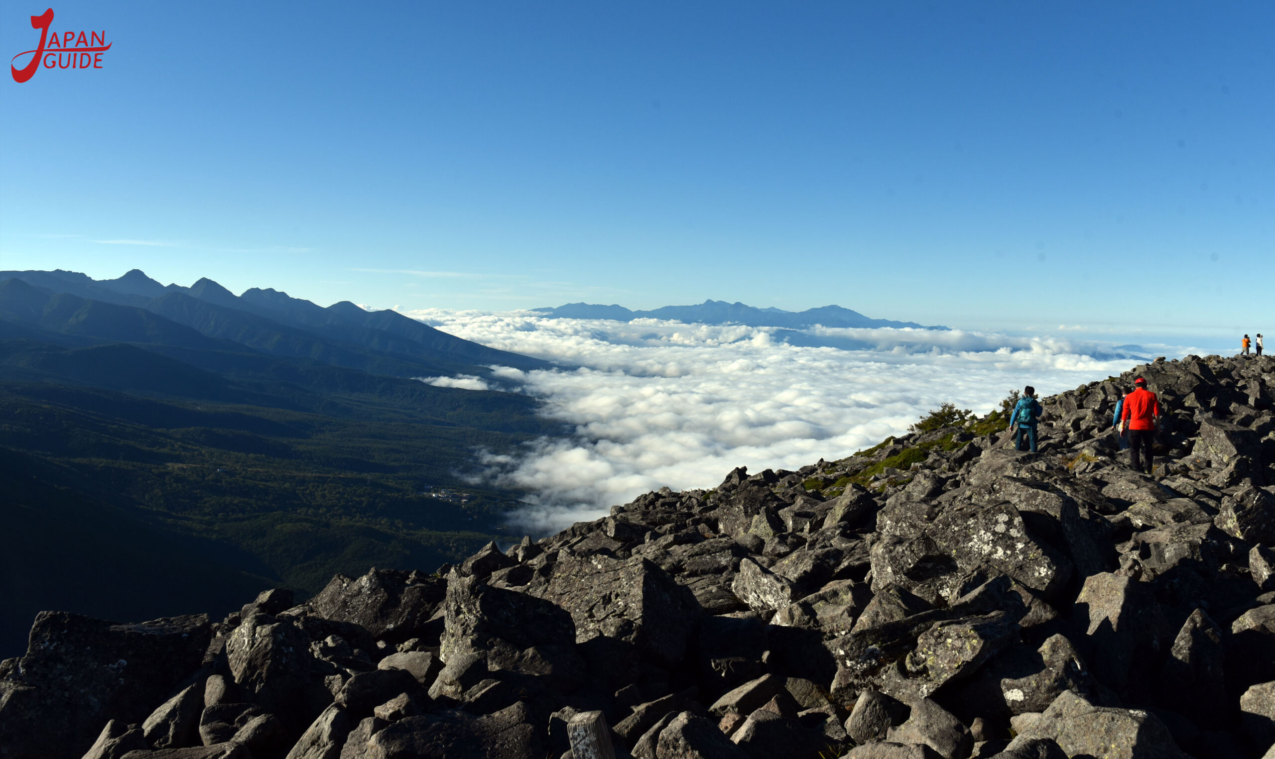
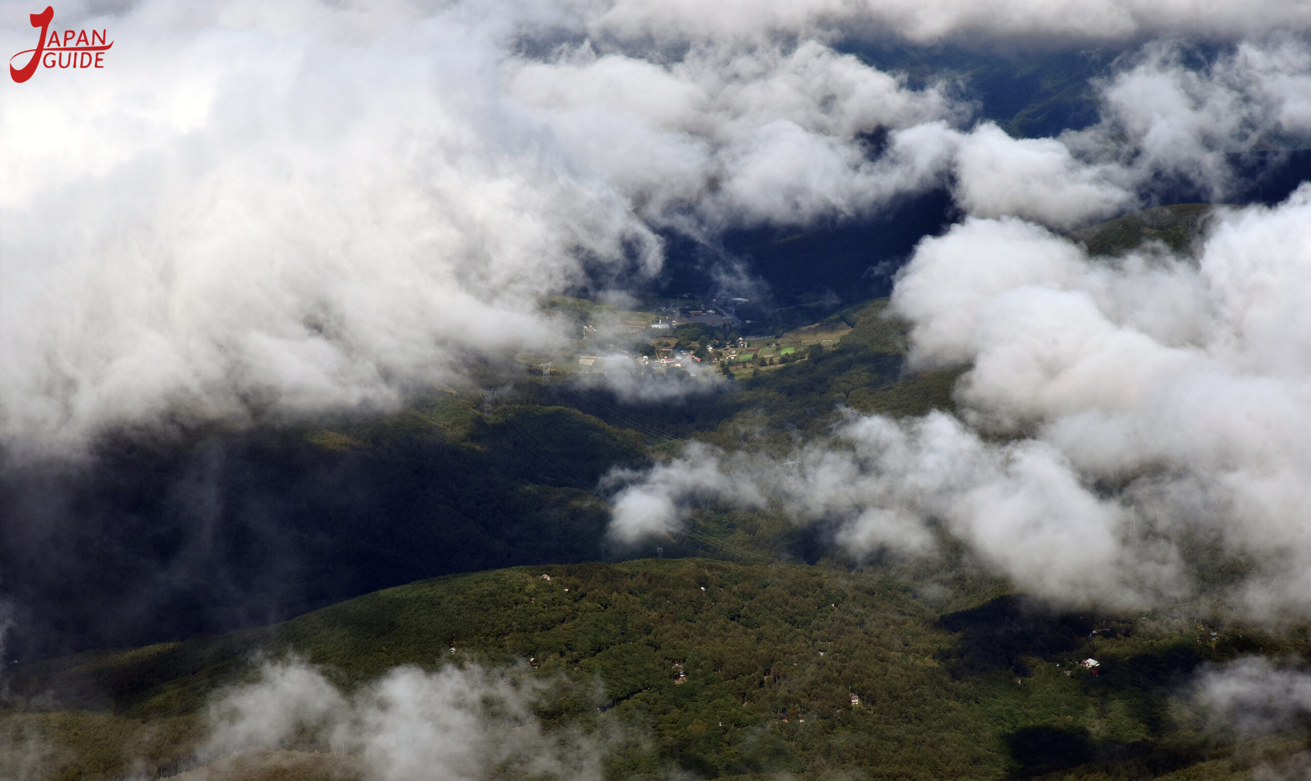
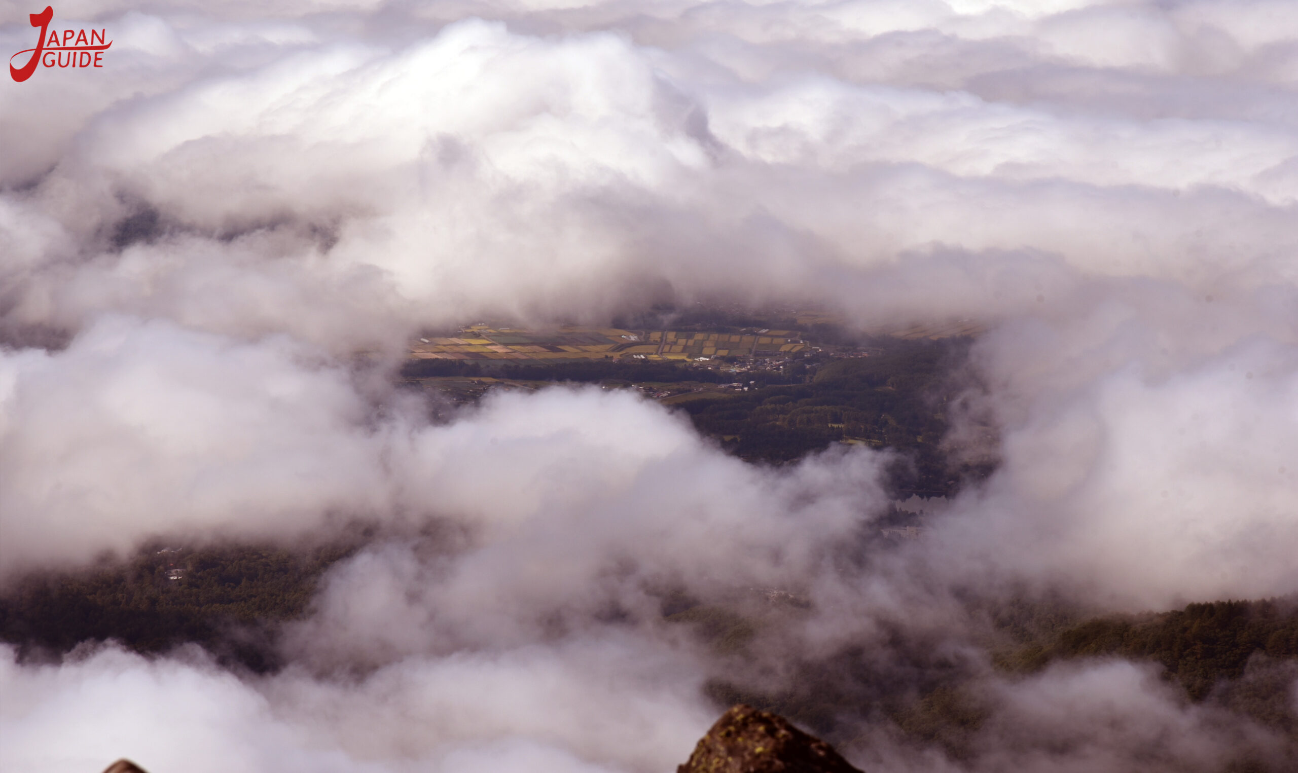
When you reach the top you will be able to enjoy a beautiful 360 degree view of the surrounding mountains if the weather is good, and if there are a lot of clouds you will be able to see a wonderful sea of clouds.
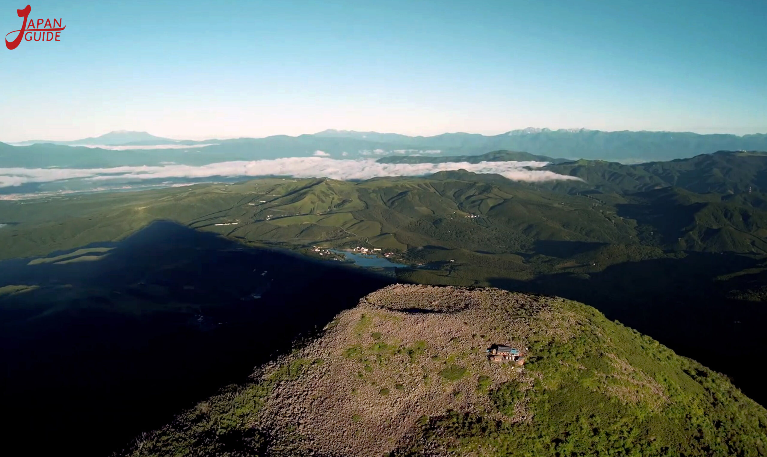
Sunrise
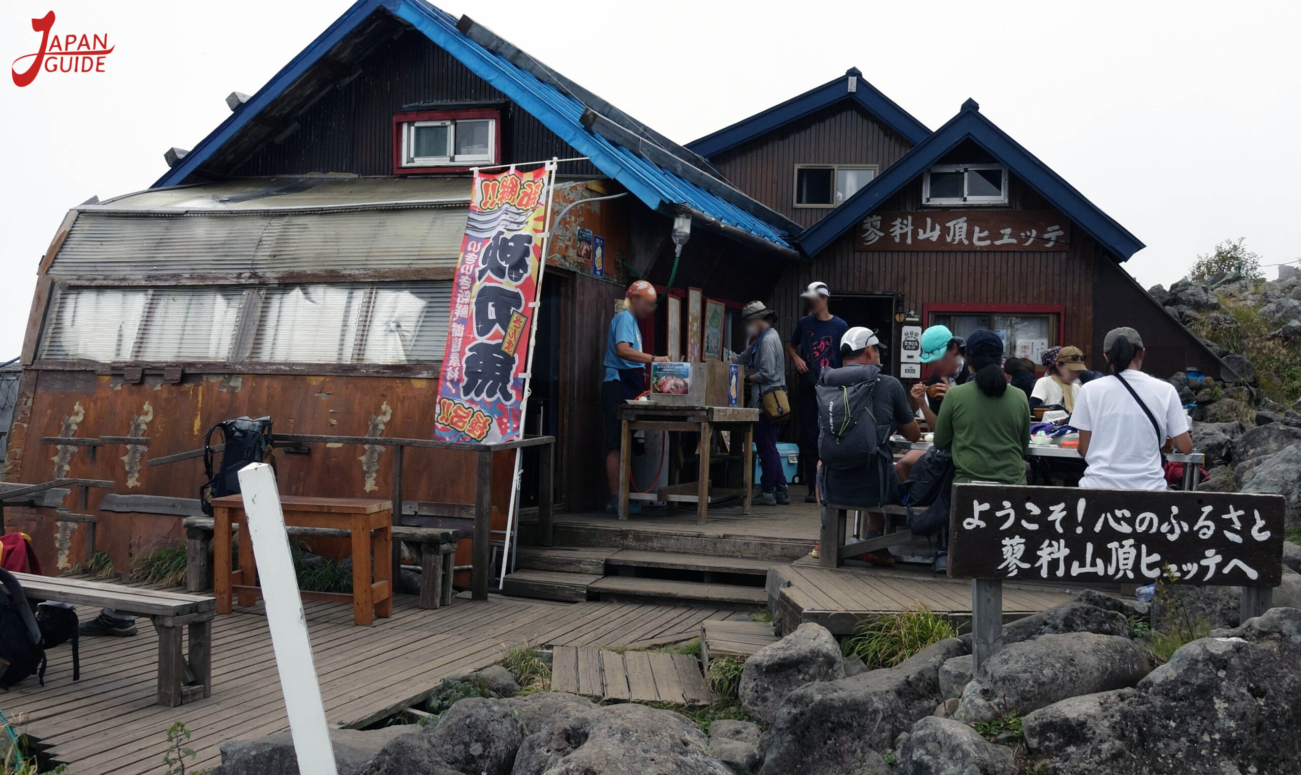
Tateshina Mountain Top Cabin
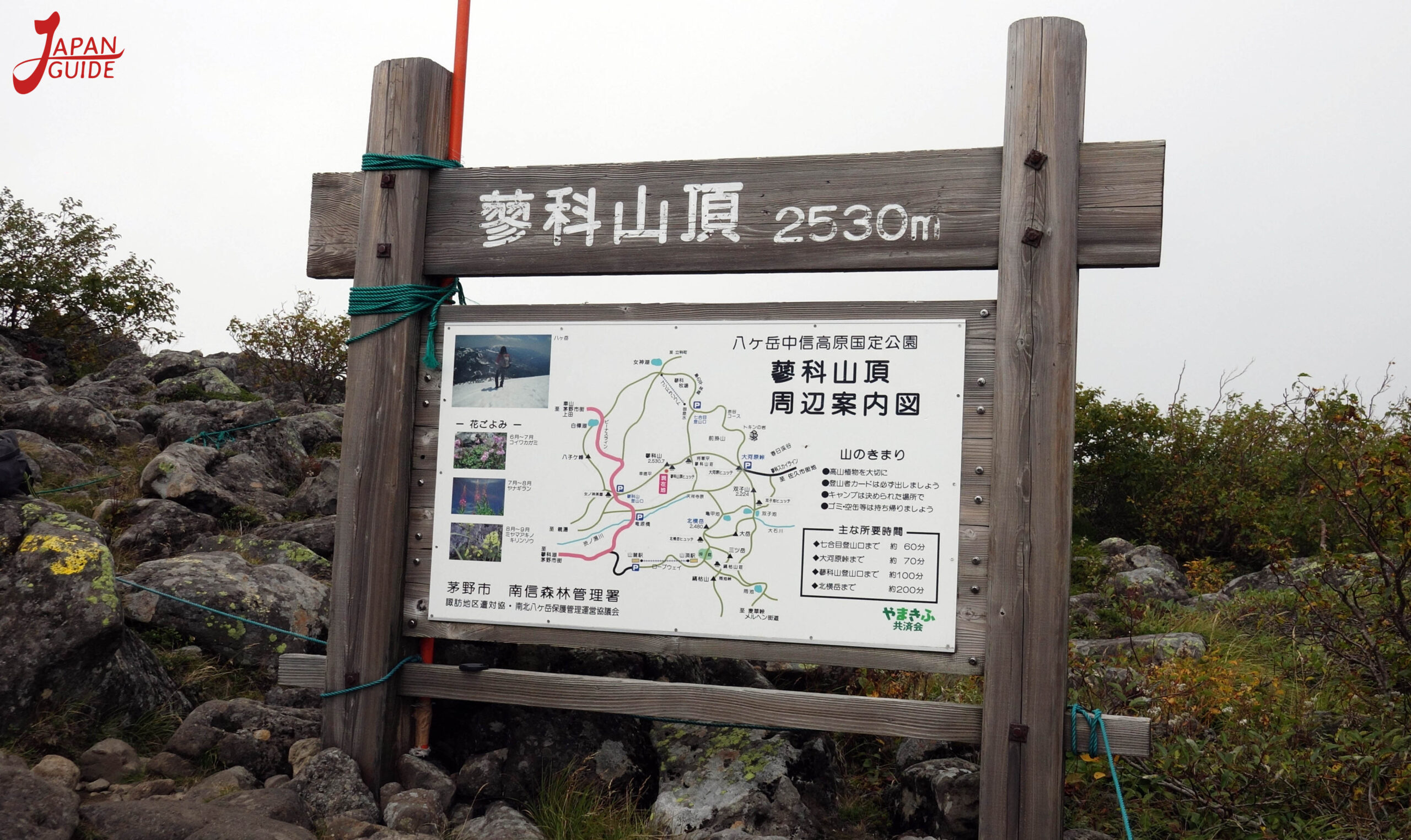
Surrounding Mountains

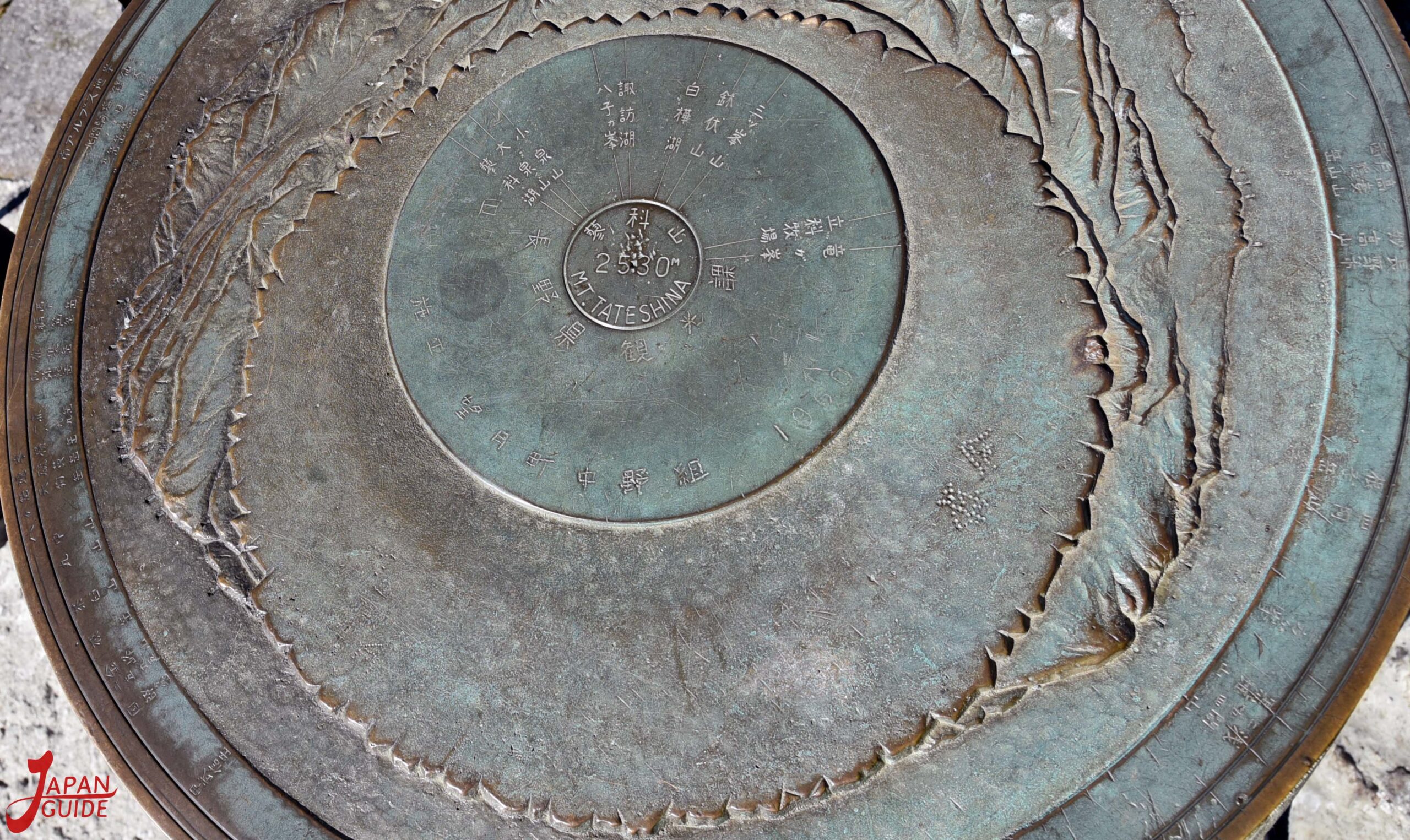
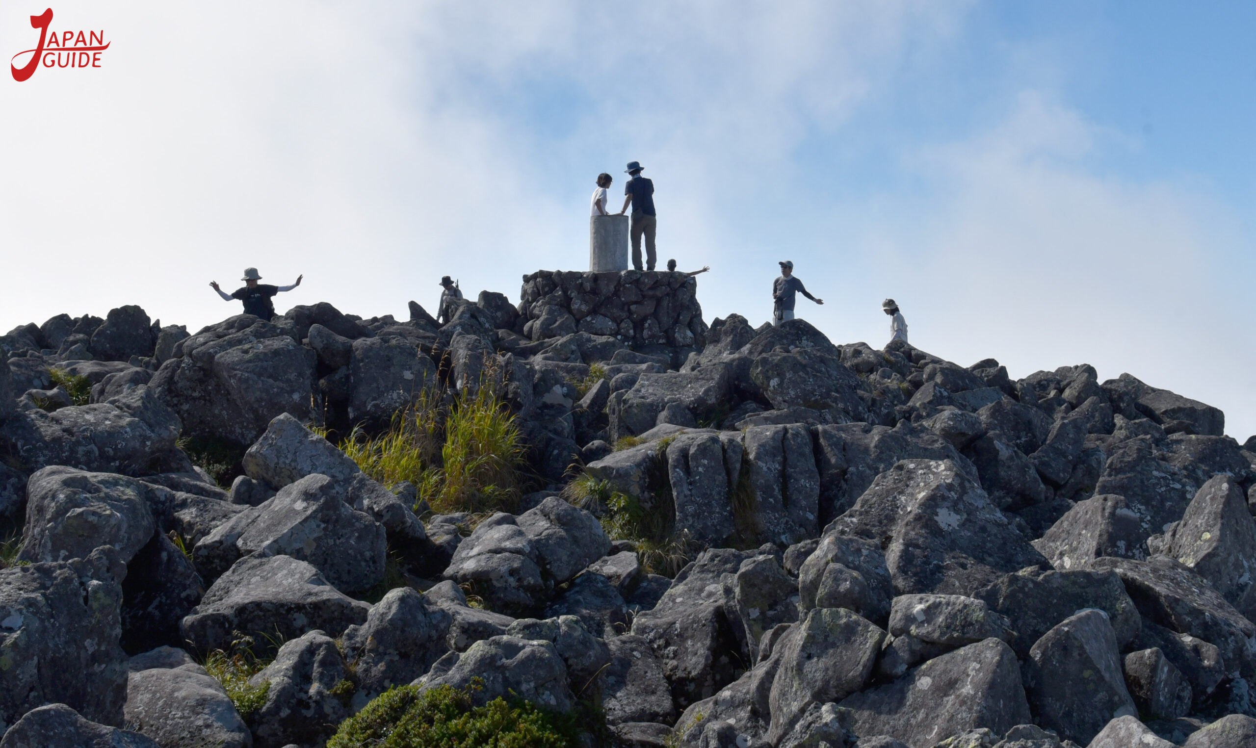
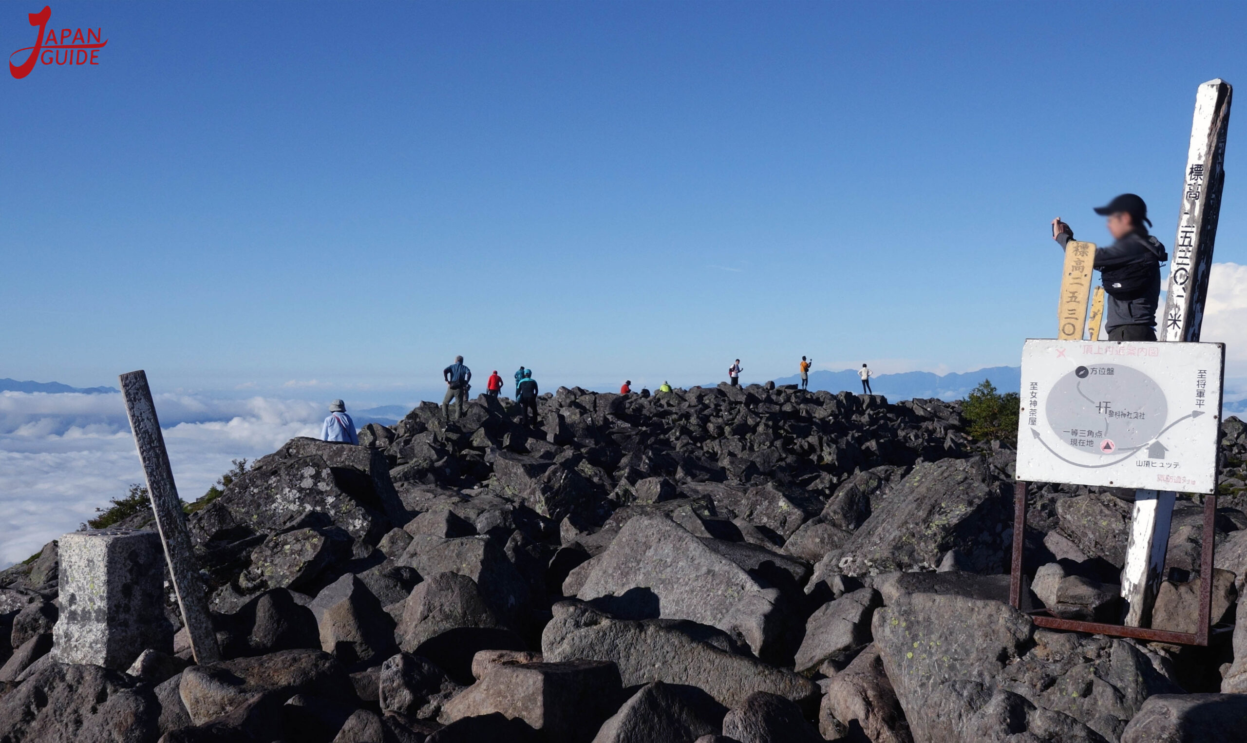
Sea of Clouds

- Tourist Attraction: Mount Tateshina.
- Location: Tateshina Town / Nagano-ken.
- Altitude: 2.531 meters.
- Entrance: Free
- Parking: Available / Free.
- Parking Restroom: Available / Free.
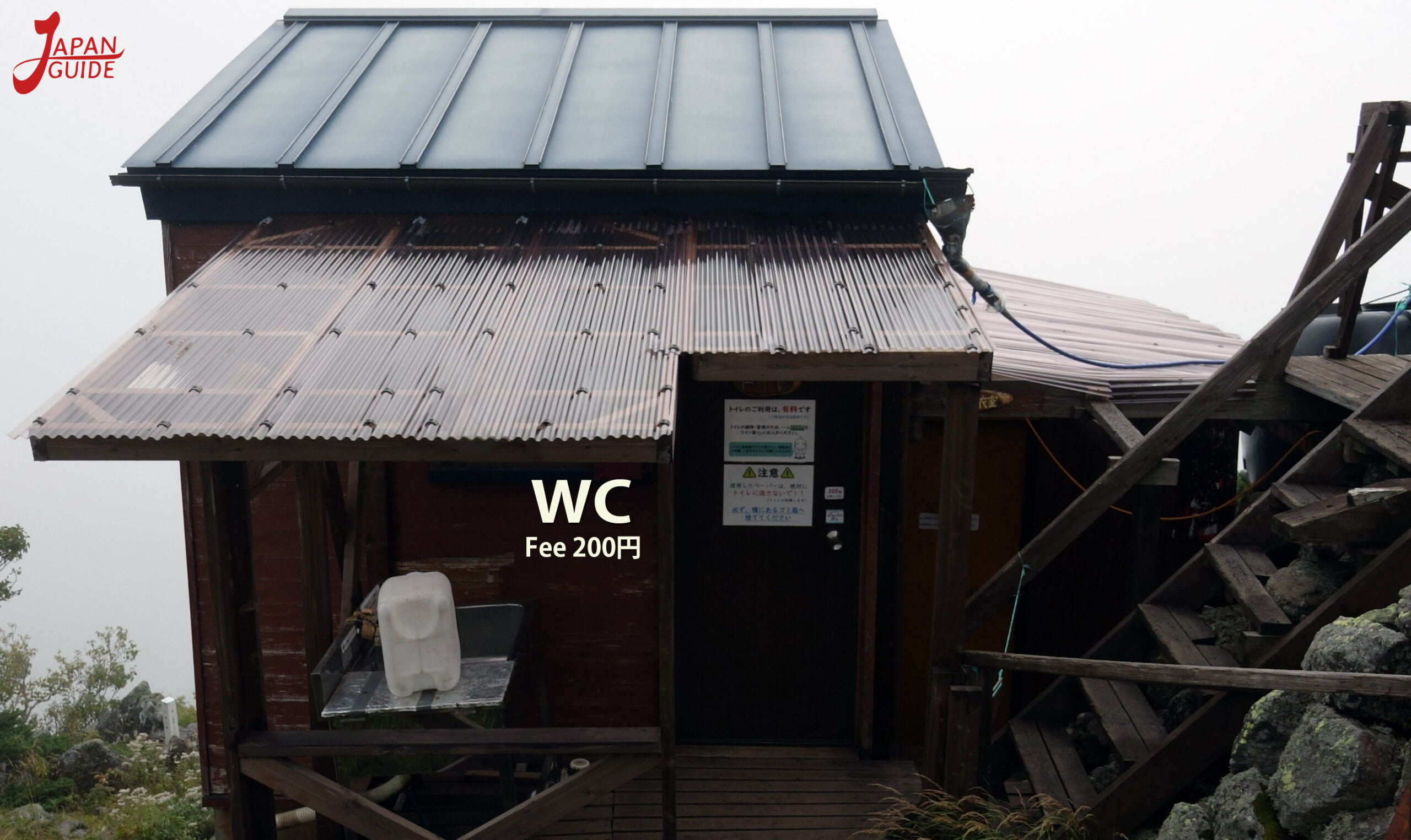
- Bathroom at the trail restaurant: Available / 200 yen.
- Cabin Restaurant: 2 Available.
Nagano Kitasaku Tateshina Ashidahakkano
